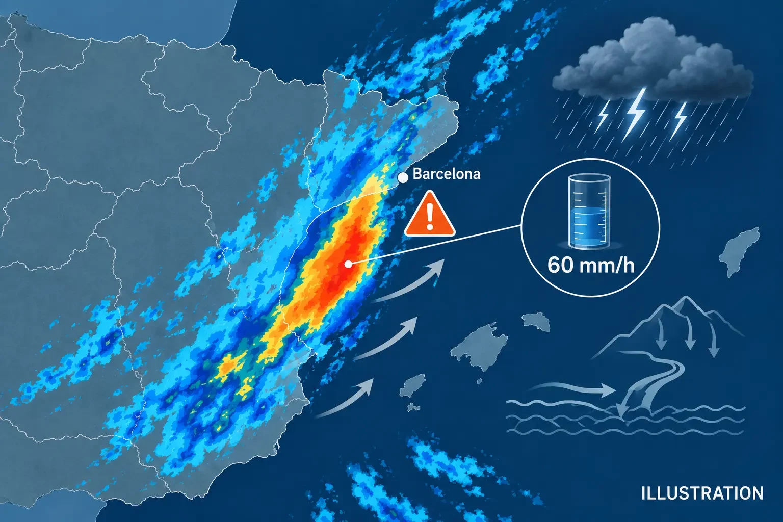
Situation checked at 07:55 CEST (05:55 UTC) on 9 September 2026. AEMET had an orange, important-danger warning in force for heavy rain on the Barcelona coast. The warning allowed for up to 60 mm in one hour, with an estimated probability of 40% to 70%, and said rainfall could be torrential, exceeding 100 mm in only three or four hours. These are warning thresholds and scenarios, not a claim that those amounts were measured everywhere.
This article records a dated snapshot. Warnings are revised as conditions evolve, so immediate decisions should be based on the live AEMET warning page for Catalonia and information from the Meteorological Service of Catalonia (Meteocat).
What the orange warning meant
An orange level indicates important weather danger and calls for attention, but impacts will not be identical in every municipality. In convective weather, a storm can release very intense rain over a narrow strip while a nearby town receives much less. The 60 mm in one hour figure is therefore a possible threshold within the warned area and period, not a point forecast for every neighbourhood.
AEMET placed the probability of reaching the phenomenon between 40% and 70%. This expresses uncertainty about the threshold being met somewhere in the warned area; it is not the probability that a particular person will be flooded. The possibility of more than 100 mm in three or four hours added another concern: repeated downpours over the same catchment can overwhelm drainage and raise streams and low-lying watercourses quickly.
What had been observed during the morning
Meteocat observations published at about 07:30 CEST showed rain already recorded at several stations. Daily totals included 24.7 mm at Salòria, 21.1 mm at Cunit, 18.2 mm at Vilanova i la Geltrú, 17.0 mm at both Vilafranca del Penedès-la Granada and Terrassa, 13.6 mm at Sant Pere de Ribes-Parc del Garraf, and 13.1 mm at Viladecans-les Filipines.
These are automatic-station readings and should be treated as provisional until validated. They also cannot be compared directly with the 60 mm in one hour threshold without knowing the precise measurement interval: a daily total and an hourly intensity answer different questions. Our guide to rainfall millimetres, totals and intensity explains the distinction.
Why rainfall can differ sharply over a few kilometres
Intense storms organise rain into cells and bands. Their track, speed and potential regeneration determine where the largest amount falls. If new cells repeatedly form along a similar path, the same corridor can receive several strong downpours. This is why a regional warning map does not imply an even distribution of rainfall.
Urban and coastal terrain adds another layer. Impermeable surfaces, underpasses, tunnels, streams, ravines and drainage networks concentrate water. A street may flood even when the county-wide average is not exceptional. Short-duration intensity is often particularly important for sudden problems.
Confirmed effects at the snapshot time
The official sources reviewed for this update did not yet provide a confirmed total of casualties, people affected or damage attributable to the episode. That does not prove there were no local incidents; it means only that no verified official assessment was available for rigorous inclusion at 07:55 CEST. Rain-gauge observations confirm precipitation, but do not by themselves confirm flooding or establish responsibility for damage.
Automatic causal labels should also be avoided. A heavy-rain warning alone is not enough to call an event a DANA, while a flood or landslide requires information from the competent authorities before it is linked to a specific cause.
What to do during very heavy rain
- Follow official warnings and Civil Protection or 112 messages; conditions can change within minutes.
- Avoid streams, ravines, channels, underpasses, underground car parks and other low points.
- Never cross water covering a road, on foot or by vehicle. Depth, current and damage to the road surface may be hidden. Read why you should never drive through a flooded road.
- If you are in a safe building, do not go down to retrieve a car from a garage once water is entering.
- Postpone non-essential travel and adapt your route to local instructions, not just the weather visible from your window.
- In an emergency, call 112 and give a precise location without putting yourself at risk to take pictures.
Warning, observation and impact are different
A warning anticipates the possible crossing of thresholds; a station observes what happened at one point; and an emergency report confirms consequences. Combining these layers produces misleading headlines. Here, AEMET supplied the risk scenario and Meteocat provisional measurements. At the cutoff time there was not enough official evidence to quantify damage.
Sources and validity
Sources checked: AEMET warnings for Barcelona, AEMET warnings for Catalonia, and Meteocat observations. This article preserves a dated snapshot and does not replace live channels. Always check the issue time, affected area, level and validity of the latest warning.