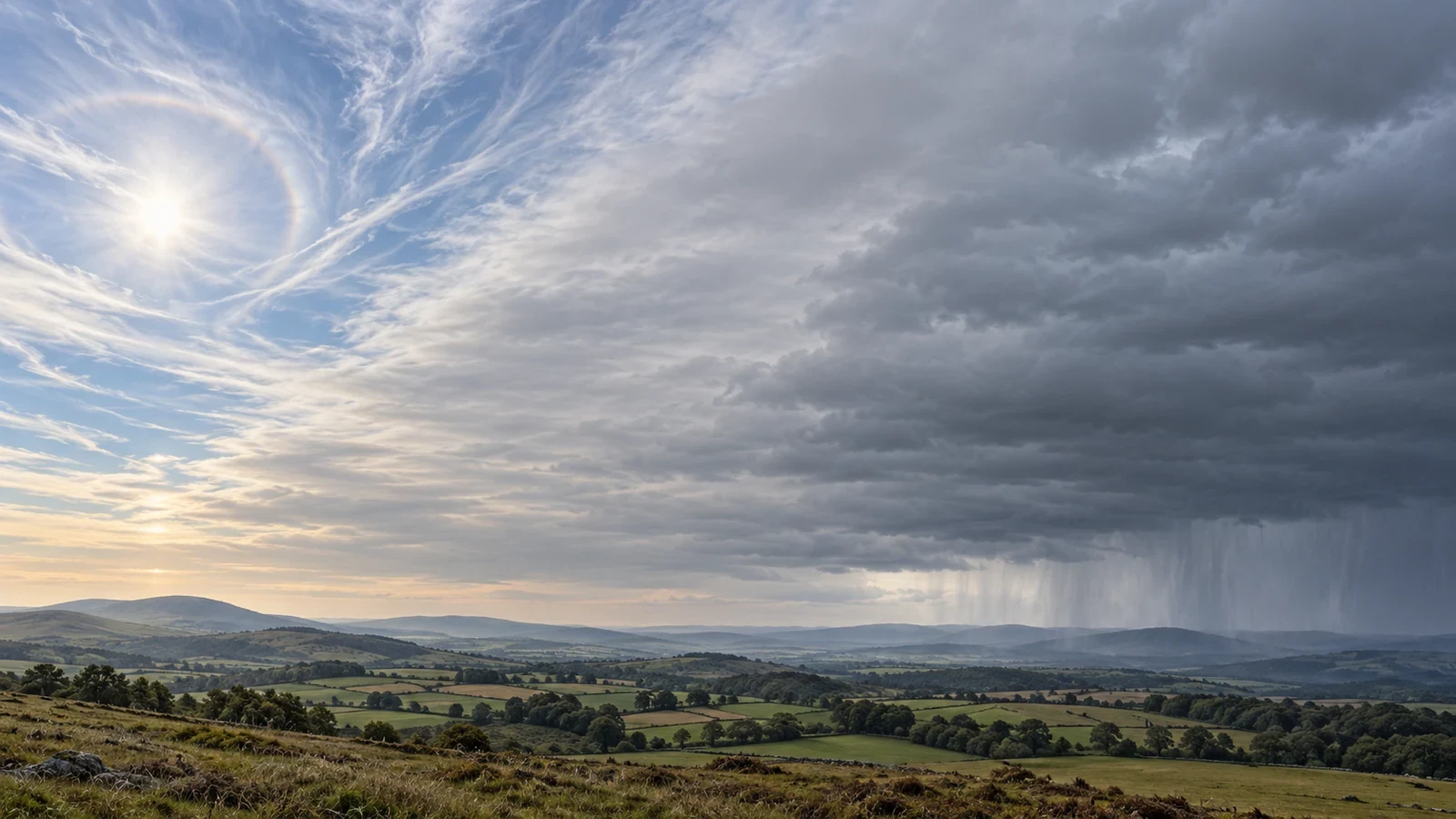
A warm front is not simply “milder air arriving”. It is the transition where advancing warm air gradually rises over denser cold air that is retreating. This shallow slope encourages a broad shield of layered cloud that can extend far ahead of the surface front.
How it appears on a weather chart
Synoptic charts normally show a warm front as a red line with semicircles pointing in the direction of travel. The line marks the estimated surface position; it is not the precise leading edge of the rain. Cloud and precipitation may spread well ahead because warm air is already gliding over the cold air.
The classic cloud sequence
When the front approaches in an organised way, the sky may reveal a top-down progression:
- Cirrus and cirrostratus: thin, fibrous high cloud arrives. Ice crystals in cirrostratus can produce a halo around the Sun or Moon.
- Altostratus: the veil thickens, contrast fades and the Sun may resemble a pale disc behind frosted glass.
- Nimbostratus: the layer becomes deeper and darker, producing widespread, fairly continuous rain or snow.
This is a useful model, not a guaranteed timetable. A front can weaken, merge with other systems or contain breaks. Cirrus alone does not prove that rain will follow.
Before, during and after passage
Ahead of the front, cloud usually increases and lowers. Pressure may fall and wind direction can change. Precipitation may start while the surface front remains some distance away.
During passage, persistent rain, drizzle or snow and reduced visibility are common. In winter, warm air moving above a shallow cold layer near the ground can create freezing precipitation. This is uncommon in many locations but particularly hazardous.
Behind the front, surface air is often milder and more humid, although the temperature rise may be small or delayed. Low cloud, mist and patchy drizzle can linger in the warm sector.
How it differs from a cold front
A warm front generally has a gentler slope and a more gradual transition: layered cloud, broad precipitation and less abrupt changes. A cold front more often has a sharper boundary, concentrated showers and faster shifts in wind and temperature. Real systems do not always follow the textbook perfectly.
Using the information in practice
- Do not treat the chart line as the exact rain-start time.
- Use radar animation to follow the precipitation band.
- Check hourly forecasts and official warnings for persistent rain, snow or ice.
- On the road, expect poorer visibility and standing water even when rain is not torrential.
The strongest clue is not one cloud but the full evolution: progressively thicker and lower cloud, widespread precipitation and a gradual move into milder air.