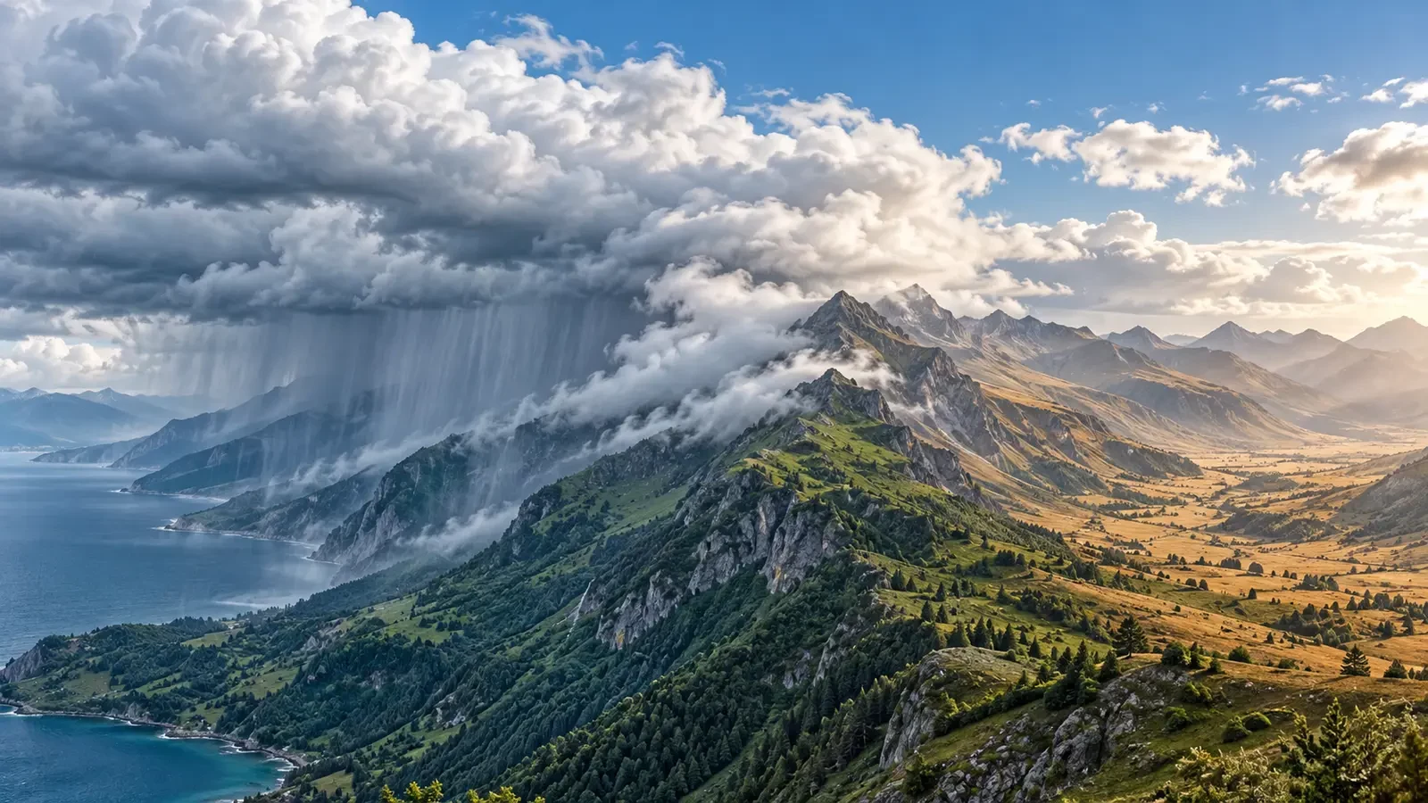
Two places separated by a mountain range can experience remarkably different weather. One slope may receive hours of rain while the other side has broken cloud or only a few drops. A common cause is orographic rain: terrain forces moist air to rise, encouraging cloud formation and enhancing precipitation. The opposite side may lie in a rain shadow.
What happens on the windward slope
The windward side faces the incoming airflow. When air meets a mountain, it cannot pass through it; if it does not simply flow around the barrier, it is forced up the slope. Pressure falls with height, so the rising air expands and cools. If it contains enough water vapour, it reaches saturation. Vapour then condenses into droplets or ice crystals and cloud forms.
Uplift does not create moisture. It converts some of the water already carried by the air into cloud and precipitation. A moist flow from the sea therefore tends to produce a clearer effect than a dry air mass. The Met Office describes orographic rain as forced ascent over high ground followed by cooling, condensation and, where droplets or crystals grow sufficiently, precipitation.
Why the air can dry in the lee
After crossing the ridge, some air descends the leeward slope. Pressure increases during descent, so the air is compressed and warms. As temperature rises, relative humidity falls and cloud may thin or evaporate. Some moisture has also already been removed as rain or snow on the windward side.
The result can be a relatively dry region behind the mountains: the rain shadow. It is not a perfectly sharp or permanent boundary. Its position and strength change with wind direction and speed, the depth of the moist layer and the wider atmospheric structure.
Why every case is different
The strength of the effect depends on several factors:
- Wind direction: when the flow changes, the windward and leeward sides change too.
- Moisture supply: maritime air usually provides more water for cloud and precipitation.
- Mountain height and width: these affect how far and for how long air must rise.
- Atmospheric stability: this helps determine whether uplift remains shallow or develops deeper cloud.
- Temperature and freezing level: these influence rain, snow and mixed precipitation.
- Fronts and convection: both can strengthen or obscure the purely orographic contribution.
Warm, dry conditions in the lee may be associated with a foehn effect, but not every rain shadow is a strong foehn event. Precipitation loss, descending-air warming, turbulent mixing and sunshine can contribute in different proportions.
How to recognise it in maps and forecasts
Start with the airflow approaching the range. Wind above the surface may differ from the wind measured in a sheltered valley. Then compare precipitation with topography. A persistent band of rain over the exposed slope followed by a marked fall in totals beyond the crest is a classic signal.
Radar shows where precipitation is occurring, but mountains can partially block the beam or create uneven coverage. Forecast models also smooth the terrain according to their resolution. Combine precipitation, wind, cloud and official warnings rather than treating a single model pixel as an exact border.
What it means for a mountain trip
A walk beginning in a dry leeward valley can lead into low cloud, persistent rain and stronger wind near a ridge. Visibility and apparent temperature may fall on the wet slope, while paths become slippery and streams rise. The forecast for the starting village may not represent the pass or the opposite side.
- Check forecasts for several elevations and both sides of the range.
- Review wind, precipitation, visibility, temperature and warnings.
- Carry waterproof layers even if the departure valley is sunny.
- Never treat a rain shadow as a guarantee of dry weather.
The key idea
Mountains alter the vertical motion of air. Ascent on the windward side favours cooling, cloud and precipitation; descent in the lee favours warming and drying. This explains many local contrasts, but it must be read together with moisture, airflow and the complete weather pattern.
Technical sources: the Met Office explanations of orographic rain and the foehn effect and rain shadows.