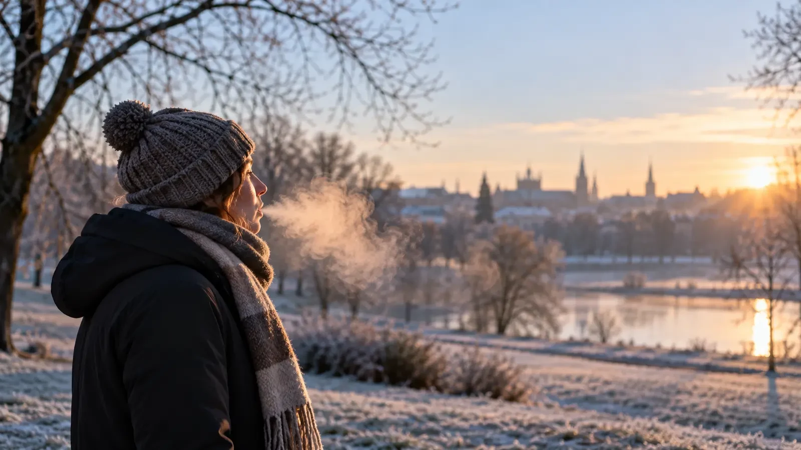
On a cold morning, one exhalation can create a small cloud in front of your face. We often call it “water vapour”, but gaseous water vapour is invisible. What we actually see is a suspension of tiny water droplets and, in very cold conditions, possibly small ice crystals.
The air you breathe out is warm and moist
Air leaving the lungs is much warmer than the winter air around you and contains plenty of moisture. While it remains close to body temperature, much of that water can stay as an invisible gas. Once the exhaled air mixes with cold outdoor air, the mixture cools rapidly.
Cold air can contain less water vapour than warm air. If the mixture reaches saturation, some water changes from gas to liquid and condenses into microscopic droplets. Those droplets scatter light, creating the pale cloud we can see. In effect, it is a tiny, short-lived patch of mist.
At what temperature does breath become visible?
There is no single threshold. The outcome depends on air temperature, relative humidity and the way the breath mixes with its surroundings. In humid air, visible breath may appear at fairly mild temperatures; in dry air, colder conditions are usually needed. Two days with the same thermometer reading can therefore produce very different plumes.
How you breathe matters too. A slow exhalation keeps the moist air concentrated and may create a more distinct cloud. Blowing hard mixes and disperses it more quickly. Talking, running or exercising increases breathing frequency and makes the effect more noticeable, but the physics remain the same.
Humidity and wind control how long it lasts
When the surrounding air is already close to saturation, the additional moisture in your breath condenses readily and the droplets may take slightly longer to evaporate. In dry air, the cloud thins and vanishes quickly. A breeze speeds up mixing, bends the plume and often removes it from view sooner.
The plume can reveal tiny air movements immediately around your face, but it is not an accurate wind gauge. Buildings, trees, clothing and body heat all produce local eddies that may differ from the wider wind.
It is not smoke—and it does not forecast snow
Visible breath is not a product of combustion. It consists mainly of condensed water and disappears as it mixes with less saturated air. Nor does it, by itself, predict rain, snow or frost. It only shows that the mixture of exhaled air and outdoor air cooled enough for condensation; it does not prove the whole atmosphere is saturated.
A denser cloud does not necessarily mean a sharp temperature drop either. Higher humidity can make it more prominent. To understand the weather, consider temperature, humidity, dew point, wind and the forecast together.
What happens in extreme cold?
At very low temperatures, some droplets can freeze into tiny ice crystals. The plume may then remain visible for longer, as happens with other small clouds of moist air in bitterly cold conditions. Its appearance alone, however, cannot tell you how much is liquid water and how much is ice.
An everyday weather experiment
Comparing your breath on different mornings is a simple way to observe the same processes involved in fog and clouds: moisture, cooling, saturation and condensation. Look for three details:
- whether the cloud appears immediately or only during a slow exhalation;
- how quickly it disappears;
- which way it moves in a light breeze.
Observe from a safe place and do not treat it as a thermometer. The key idea is simple: you are not seeing water vapour itself; you are seeing tiny droplets—and occasionally ice crystals—formed as warm, moist breath cools in the surrounding air.