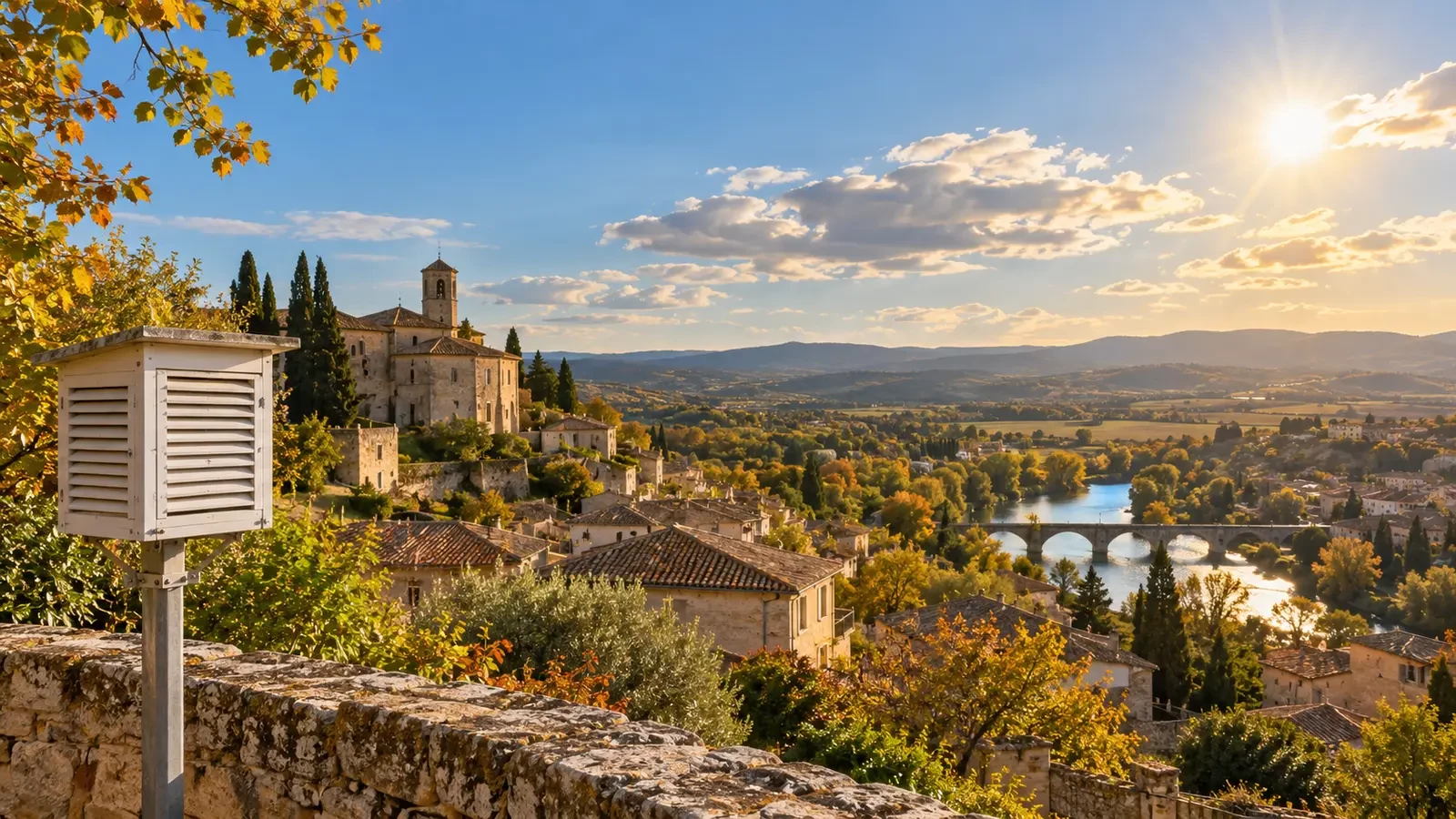
If the Sun reaches its greatest height around solar noon, it seems reasonable to expect that to be the hottest moment. Yet on a settled day the highest air temperature is usually recorded in mid-afternoon. There is no contradiction: incoming solar energy and air temperature do not peak at the same time.
Solar noon is not necessarily 12:00
Solar noon is the moment when the Sun crosses the local meridian and reaches its highest elevation for that day. Its clock time varies with longitude, time zone and season. Comparing the daily high with 12:00 on the clock can therefore be misleading.
Near solar noon, a horizontal surface receives its greatest instantaneous solar input when clouds do not interfere. However, the ground, buildings and vegetation have already stored energy through the morning and continue transferring heat to the air above them.
The energy balance explains the delay
Temperature rises while the surface and near-surface air gain energy faster than they lose it. After solar noon, incoming sunlight begins to weaken, but for a while it can still exceed losses through infrared radiation, evaporation, conduction and mixing with cooler air. The remaining surplus keeps the air warming.
The maximum occurs when gains and losses come into balance. Once losses become greater, temperature falls. This delay between peak solar input and peak temperature is commonly described as thermal lag or thermal inertia. The Met Office notes that the warmest part of the day is generally in the afternoon, after the surface has had time to heat up.
There is no universal time for the daily high
On many calm, clear days the maximum arrives in early or mid-afternoon, but it can occur earlier, later or without a clean peak. Important controls include:
- Cloud: cloud arriving after a sunny morning may stop warming early; afternoon clearing can delay the maximum.
- Wind: mixing and advection can bring warmer or cooler air. A wind change may outweigh the solar cycle.
- Humidity and wet ground: more available energy is used for evaporation, slowing the rise in air temperature.
- Sea and breezes: a sea breeze may halt or reverse coastal warming during the afternoon.
- Terrain and aspect: valleys, slopes and shadows change when a place receives direct energy.
- Urban or rural setting: built materials store and release heat differently from vegetation and natural soils.
Air temperature is not surface temperature
Meteorological air temperature is measured in ventilated shade, usually near two metres above the ground. Dark tarmac, a sunlit wall or the inside of a vehicle can become far hotter and may peak at a different time. A weather app therefore does not describe what an unshielded thermometer in sunshine will read.
UV can peak before the heat
Heat is a poor guide to ultraviolet exposure. UV is generally strongest around solar noon, while the air-temperature maximum may lag by several hours. The NOAA Climate Prediction Center explains that this delay can be about three to four hours in some seasons and locations.
A hotter afternoon does not automatically mean more UV than earlier in the day. For outdoor plans, check temperature, UV index, cloud and wind separately.
What about the daily minimum?
At night there is no solar input and the ground loses energy. Temperature commonly continues falling until around dawn, when renewed sunlight begins to offset those losses. Cloud, wind and the arrival of a different air mass can change this pattern too.
The core idea is simple: the Sun sets the rhythm, but temperature responds to the accumulated energy balance. That is why the temperature clock normally runs several hours behind the solar clock.