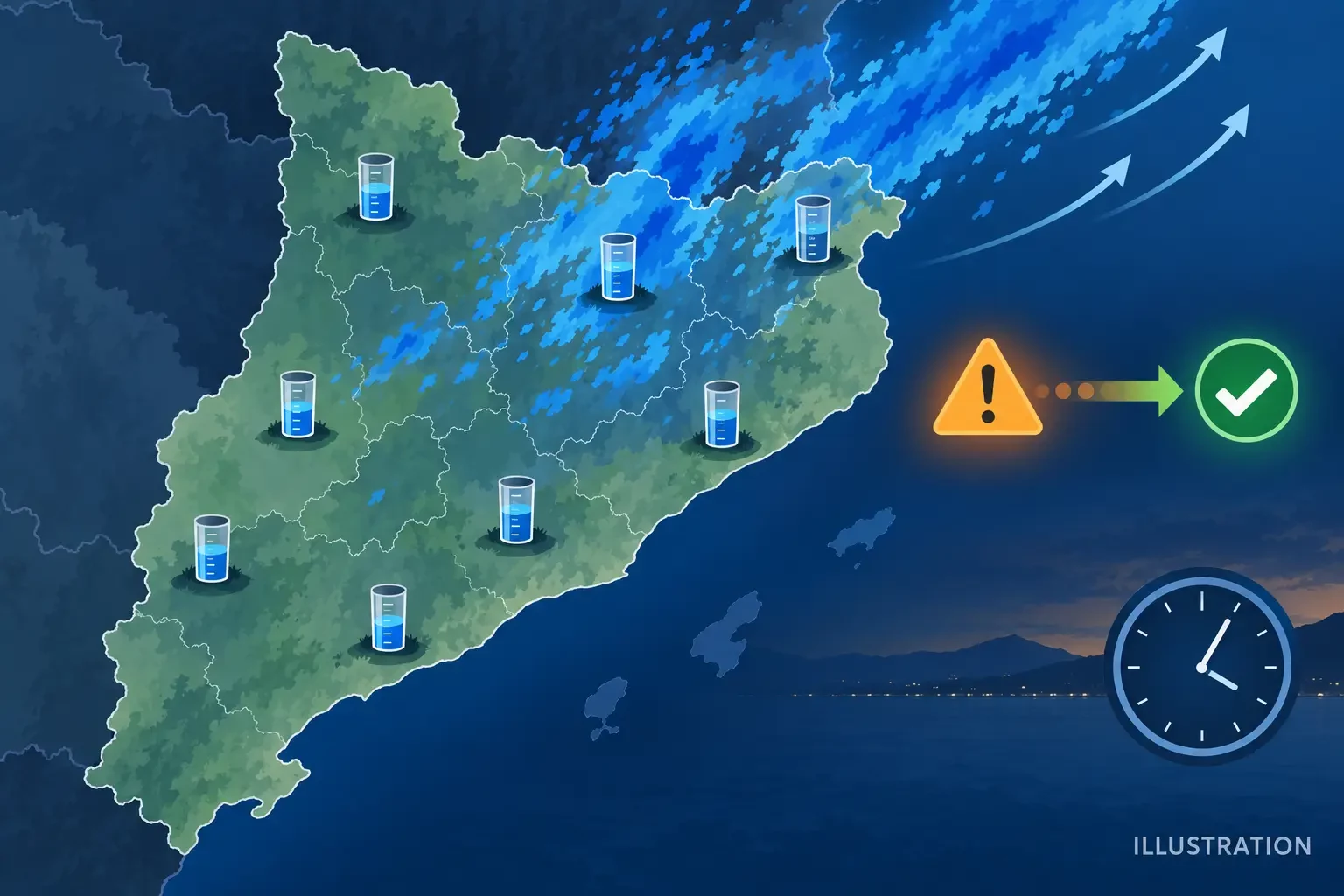
Situation checked at 20:00 CEST (18:00 UTC) on 9 September 2026. Civil Protection of the Catalan Government lifted the travel and healthcare-activity restrictions affecting Alt Penedès, Baix Llobregat, Baix Penedès, Garraf and Vallès Occidental during the day. The decision followed an improvement in the forecast, although the official statement said the risk of intense rain was still present.
This administrative change and the day's observed totals are a substantial development since our morning report on the orange warning. Lifting a restriction does not mean that every location is free of danger; it records a decision made with the information available at that time.
Which restrictions were lifted, and which had a different timetable
Civil Protection distinguished between several measures. Travel and healthcare-activity limitations were lifted in the five named counties. Remote working and the other activity suspensions introduced earlier were to remain in place until 17:00 CEST. It would therefore be inaccurate to describe the announcement as an immediate, simultaneous cancellation of every measure.
The restrictions had been preventive, introduced because torrential rain was possible. Their later removal reflected a reassessment of the forecast risk, not proof that there was no standing water, local incident or delayed river response. Local authorities could retain specific measures where municipal conditions required them.
The highest totals observed by Meteocat
Meteocat's automatic-station summary, checked with data extending to approximately 19:00 CEST, showed a very uneven distribution. The largest published daily totals were 80.8 mm at Sant Joan de les Abadesses, 64.5 mm at la Quar, 57.5 mm at Sant Pau de Segúries, 54.8 mm at Olot and 52.4 mm at Castellar de n’Hug-el Clot del Moro.
The summary also listed 51.6 mm at Barcelona-Observatori Fabra, 47.8 mm at Castellbisbal, 44.7 mm at la Vall d’en Bas, 37.1 mm at Molló-Fabert and 33.2 mm at Guardiola de Berguedà. Barcelona-el Raval recorded 24.5 mm. These are automatic-station observations and should remain provisional until final quality control.
Why 80.8 mm in a day is not 80.8 mm in one hour
A daily total adds the precipitation recorded from the start of the meteorological day to the update time. Hourly intensity measures the amount collected within one specific 60-minute interval. A place can receive 80 mm gradually or concentrate a large share in a short downpour, producing very different consequences.
These totals do not by themselves prove that the AEMET hourly warning threshold was reached at every station. Our guide to rainfall millimetres, totals and intensity explains how to distinguish the measurements.
Rain was not confined to the Barcelona coast
The highest values in the evening summary appeared in parts of Ripollès, Berguedà, Lluçanès and Garrotxa, as well as stations around Barcelona. This illustrates the uneven footprint of convective episodes: rain bands evolve and can leave the day's maxima away from the sector that attracted most attention at the start.
One station reading should not be extended to an entire county. Each rain gauge represents one point, and the track of cells, terrain and duration of showers can create large differences between nearby stations.
What effects were confirmed at the cutoff time
The official sources reviewed confirmed the preventive measures, their partial lifting during the day and the weather observations above. At 20:00 CEST they did not yet provide a consolidated final toll of casualties, people affected or material damage attributable to the episode that could be repeated with confidence.
This does not establish that no incidents occurred. It means a final official assessment was not available in the checked sources. Nor can flooding or damage be inferred from a rain gauge alone: outcomes depend on drainage, terrain, antecedent water levels and the timing of rainfall.
Why some risk can remain after the forecast improves
Water already on the ground continues to move after rain stops. Streams, ravines and small catchments may respond later than the heaviest shower, while underpasses and low roads can retain water. Saturated slopes may become less stable, but a specific landslide should be attributed to rain only after competent authorities or technical experts confirm the link.
- Respect local closures even after a general restriction has ended.
- Never cross a road, stream or underpass covered by water.
- Check recent warnings and observations before travelling.
- Do not enter channels to inspect their level or approach them for pictures.
- In an emergency, call 112 and provide an exact location.
Sources and scope of this follow-up
Main sources: the Civil Protection notice lifting restrictions, the Meteocat observation summary and current AEMET warnings for Catalonia. This is a dated snapshot, not a continuously updated service. Live official channels take precedence for current decisions.