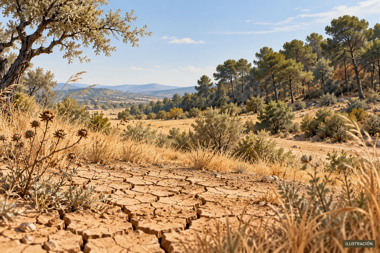
Situation known at 08:00 CEST on 16 September 2026. France entered the second half of September with exceptionally dry soils for the time of year. On 15 September, Météo-France said its national soil-dryness indicator had reached levels not previously observed at this point in September across many departments. It also reported continued elevated weather-related vegetation-fire danger around the Mediterranean.
This is not a report of a particular wildfire or confirmed damage. Nor does it mean that all of France is under water-use restrictions. Soil moisture, weather conditions that favour fire spread and administrative restrictions on water use are three different matters.
What Météo-France observed
The official update said that rainfall had been very scarce since meteorological autumn began on 1 September: only one rainy day when considering France as a whole. Rain at the end of August had brought a temporary improvement, but it was not enough to correct the deficit.
Soils consequently dried again across much of the country. Météo-France said many departments were at an unprecedented level for mid-September, while identifying the southern region as the exception in that indicator. “Unprecedented” refers to the historical comparison for this date; it does not mean that every location had identical conditions.
This is a material development after the 2026 summer climate report. Meteorological summer had ended, but limited rainfall and continuing moisture loss were still shaping early autumn.
Observed heat and forecast cooling
Météo-France reported temperatures of 35–36°C between Nouvelle-Aquitaine and Occitanie on Tuesday 15 September. For Wednesday 16, it forecast a weak front, a marked temperature fall across much of the country and generally limited rainfall.
Cooling is a short-range forecast, not evidence that the soils have recovered. Temperatures of 30–32°C were still expected in parts of the south-east, and the service said the rainfall expected later in the week would not be sufficient to stop the dryness overall.
Why fire danger remained elevated
Dry vegetation can ignite and carry fire more readily. Strong mistral and tramontane winds around the Mediterranean added to the concern. Météo-France expected elevated danger there through the week and said moderate danger would spread gradually across a broad part of the country.
The Météo des forêts gives a weather-based danger level; it does not predict that a fire will occur. Orange means that the conditions substantially increase the likelihood of ignition and spread compared with summer norms, with locally very high risk possible. No visible fire does not remove the need for prevention.
Soil dryness is not the same as water restrictions
Restrictions are decided locally through resource assessments and official orders. VigiEau should therefore be checked for each municipality. As the portal itself warns, an uncoloured area alone does not confirm that no restriction exists.
Likewise, a few days of weak rain may wet the surface without quickly restoring deeper soil layers, river flows or reserves. Meteorological, hydrological and administrative indicators should be read separately.
Practical precautions
- check official vigilance and Météo des forêts before activities near vegetation;
- obey closures, fire bans and local restrictions;
- avoid cigarettes, open flames, spark-producing tools and vehicles on dry grass;
- alert emergency services immediately if smoke or fire is seen;
- use VigiEau for local water-use rules;
- during intense heat, follow the extreme heat safety guide.
Official sources
- Météo-France: dryness and fire danger at the start of autumn, published 15 September 2026.
- Météo-France: forest-weather danger levels.
- VigiEau: official local water-restriction information.
Warnings and maps can change during the day. This article records the situation at the stated time and does not replace live official information.