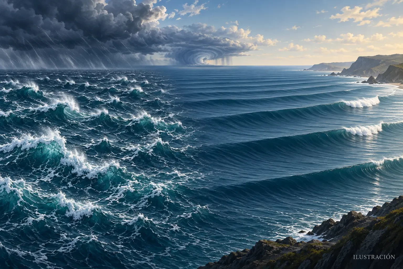
Light wind at the beach does not guarantee a calm sea. Some waves may have been generated hundreds or thousands of kilometres offshore and continue travelling after the storm that created them is far away. A coastal forecast therefore separates two components: wind sea and swell.
What is wind sea?
AEMET defines wind sea as waves produced by wind blowing over an area of water. As wind begins, it transfers energy to the surface and raises small waves. They can grow when the wind is stronger, lasts longer and blows across a greater distance —the fetch.
Near the generation area, the surface is often irregular, with short crests, mixed directions and relatively brief periods. The sea also takes time to respond when wind changes; there is no instant one-to-one relationship between a gust felt ashore and each incoming wave.
What is swell?
Swell is wave energy that has travelled beyond the area where the wind generated it. Waves become sorted during the journey: longer-period components move faster and can arrive ahead of shorter ones. The result usually has smoother, more regularly spaced crests.
A coast can therefore receive swell beneath clear skies and weak local wind. The responsible storm may be far away or may already have weakened. Two or more swell trains can also arrive from different directions.
The usual reality: combined sea
The observed surface is the sum of local wind sea and one or several swell systems. AEMET calls this the combined sea. Components arriving from different directions produce a cross sea, which can be confused and uncomfortable or hazardous for small craft.
Forecast significant wave height is the average of the highest one-third of waves, not the height of every wave or a guaranteed maximum. Individual waves will be both smaller and larger. Our guide to wave height, period and direction explains how to use these fields together.
What changes near the coast
As waves enter shallower water they slow, shorten and steepen until they break. Seabed shape, headlands, bays, reefs and harbour structures can refract, focus or shelter wave energy. Two nearby beaches may react very differently to the same swell.
Long-period swell carries energy through a deeper layer and can produce powerful breakers, overtopping on rocks and strong currents. There is no universally safe wave height: period, direction, tide, coastal shape and exposure all matter.
A practical check before approaching the sea
- Read height, period and direction for both wind sea and swell.
- Check forecast local wind, tide and official AEMET marine warnings.
- Obey flags, closures, lifeguards, port authorities and civil-protection instructions.
- Do not approach breakwaters, cliffs or exposed promenades to watch waves; larger sets may follow minutes of apparent calm.
- For boating or water sports, use a zone-specific forecast and assess experience, equipment and a safe alternative.
This guide is educational and does not replace a live marine warning. An orderly appearance does not make swell harmless.