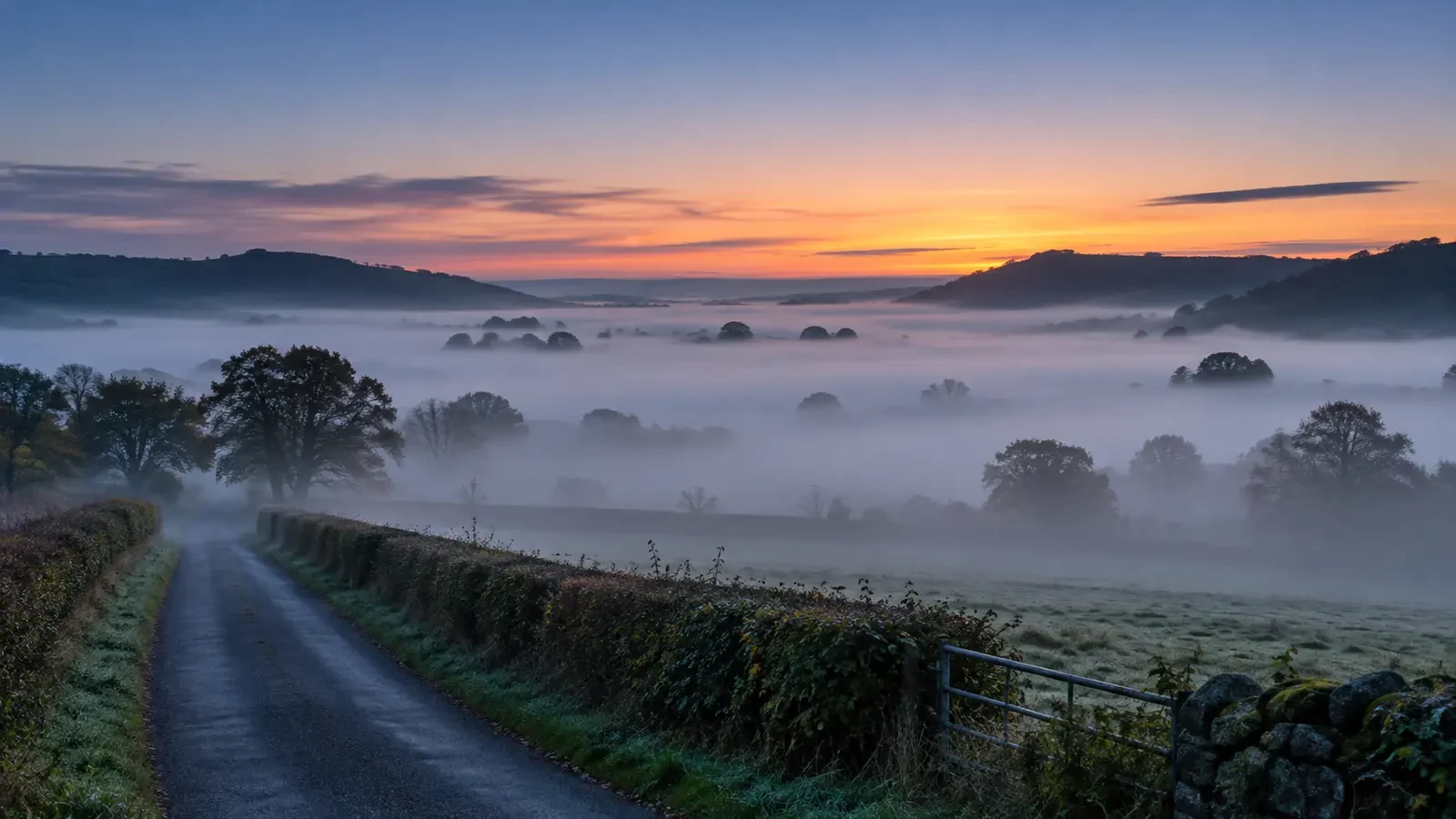
A road can be clear at bedtime and hidden beneath dense fog by dawn. This change does not require rain or an approaching front. It is often radiation fog, which forms when the ground loses heat during a quiet night and cools the moist air immediately above it.
The ground cools first
After sunset, the surface continues to emit energy as infrared radiation. Under clear skies, more of that energy can escape upwards. The ground cools and, through contact, chills the lowest layer of air.
As the air temperature approaches the dew point, relative humidity rises. At saturation, some water vapour condenses into tiny suspended droplets. When those droplets reduce visibility near the surface, fog has formed.
Why clear skies and light winds matter
Clouds act as a partial blanket by absorbing and re-emitting radiation towards the surface, reducing overnight cooling. Clear nights are therefore more favourable for radiation fog.
Wind also matters. A very light breeze may spread moisture through a slightly deeper layer and help fog become more extensive. Stronger wind mixes in air from above and can prevent the shallow surface layer from cooling enough. Complete calm is no guarantee either: without sufficient moisture, the temperature will simply fall without fog forming.
Why fog is often thickest near sunrise
Sunrise does not suddenly create the fog. Cooling usually accumulates throughout the night. Temperature often reaches its lowest point shortly before or around sunrise, so the gap between air temperature and dew point may then be at its smallest.
Shallow patches that began overnight can expand and deepen during the final hours of darkness. Fog may persist after the sun appears because the ground and the lowest air must first warm, while the fog layer itself limits how much sunlight reaches the surface.
Valleys, hollows and wet fields
Cold air is denser and tends to drain into low ground. During stable nights it can collect in valleys, floodplains and hollows, where winds are often weaker. Moisture from wet soil, rivers, lakes and vegetation makes saturation easier.
Visibility can therefore change sharply over a short distance: a hillside may be clear while the valley floor is hidden. Wet ground after rain adds moisture, although suitable cooling and wind conditions are still required.
How radiation fog clears
As sunlight warms the surface, the temperature of the lowest air rises and relative humidity falls. Droplets evaporate and vertical mixing increases. Fog may first lift into low stratus and then break, or it may retreat from its edges and shallowest areas.
Clearance is slower when the fog is deep, the sun is weak or low, cloud sits above it, or winds remain light. In autumn and winter, longer nights and weaker sunshine can allow fog to persist well into the morning or remain trapped beneath an inversion.
Not all fog is radiation fog
Advection fog forms when moist air moves across a colder surface. It can develop beneath cloudy skies and in stronger winds and is common in some coastal areas. Upslope fog forms as air is forced over rising ground and cools. Knowing the type helps explain whether fog is likely to clear quickly or persist.
Driving in fog
- Check visibility forecasts and warnings, not only the chance of rain.
- Slow down before entering the fog and increase the following distance.
- Use the appropriate lights; full beam reflects from droplets and can make visibility worse.
- Do not follow the vehicle ahead too closely and never stop in a live lane.
- Take extra care in valleys, near rivers, on bridges and in other colder low-lying sections.
The key point
Radiation fog is the product of a night during which the ground and moist surface air cool progressively. It often reaches its greatest extent near sunrise because cooling has had hours to accumulate. Sunlight does not remove it instantly: the surface must first warm enough to promote evaporation and mixing.