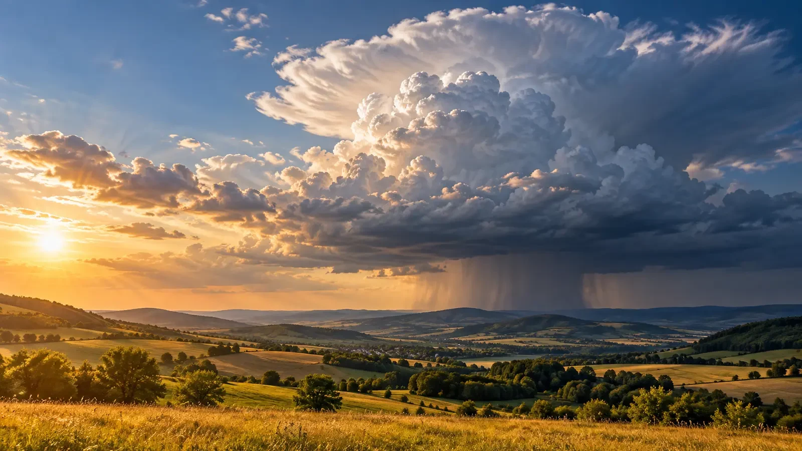
A calm, sunny morning can end with rapidly growing clouds, heavy showers and thunder. Many thunderstorms favour the afternoon because the ground needs time to absorb solar energy, warm the air above it and build conditions that support strong updraughts. Heat alone, however, is not enough.
From a warm surface to a towering cloud
Sunlight warms the land first. The surface then transfers energy to the lowest part of the atmosphere. Pockets of warm, humid air can become more buoyant than their surroundings. When such a pocket rises, pressure decreases, so it expands and cools. Once it reaches saturation, water vapour condenses and a cloud begins to grow vertically.
Condensation releases latent heat, which can strengthen the ascent. If the rising air remains warmer than the surrounding atmosphere, a modest cumulus may develop into a cumulonimbus. This evolution takes time, so peak convective growth often occurs after solar noon, during the afternoon.
Three ingredients must overlap
Thunderstorms need a combination of moisture, instability and lift. Moisture supplies water vapour; instability allows lifted air to keep rising; and a trigger helps the air overcome layers that resist vertical motion.
- Moisture may arrive from nearby seas, wet ground or humid low-level airflow.
- Instability increases when air near the surface warms while air aloft remains relatively cold.
- Lift can be provided by hills and mountains, a sea-breeze boundary, a front or a convergence line.
Over mountains, sun-warmed slopes help channel air upwards. Near coasts, a sea breeze can concentrate moisture and create convergence. Elsewhere, a front may provide the decisive push. Afternoon heating makes the atmosphere more responsive to these triggers.
Why every hot afternoon does not produce a storm
Hot weather does not guarantee thunderstorms. A warm, dry layer in the middle atmosphere may act as a cap. Morning cloud can reduce surface heating; the air may be too dry; or no trigger may be present. Early clouds can also use some of the available energy without becoming organised storms.
That is why the daily maximum temperature is not a storm forecast by itself. Forecasters also assess vertical profiles of temperature and humidity, winds at different heights, fronts, convergence zones, satellite imagery and radar.
How can thunderstorms occur at night?
After sunset, convection fed directly from the surface usually weakens, but storms do not automatically stop. A front can continue lifting air overnight. A strong low-level current can transport moisture and feed storms above a cooler surface layer. An organised storm complex may also travel a long distance while maintaining its internal circulation.
Night-time storms therefore do not contradict the role of daytime heating. They may be driven by different lifting mechanisms, draw energy from air above the surface, or retain organisation acquired earlier.
Planning outdoor activities
A quiet morning does not guarantee a safe afternoon. If the forecast mentions thunderstorms, check official warnings and radar before setting out, and watch for cumulus clouds that grow quickly and develop dark bases.
- Schedule mountain, beach and countryside activities with enough time to return before the highest-risk period.
- If you hear thunder, move to a substantial building or a hard-topped vehicle; do not wait for rain.
- Avoid exposed ridges, isolated trees, open ground and water while a storm is nearby.
- Check the precise timing and area of any warning: “afternoon thunderstorms” does not mean an entire region will be affected at once.
The key point
Many thunderstorms form in the afternoon because accumulated heating increases buoyancy and supports updraughts. But the clock does not create a storm: moisture, instability and a lifting mechanism must coincide. Understanding that combination makes forecasts easier to interpret—and prevents a clear morning from creating false confidence.