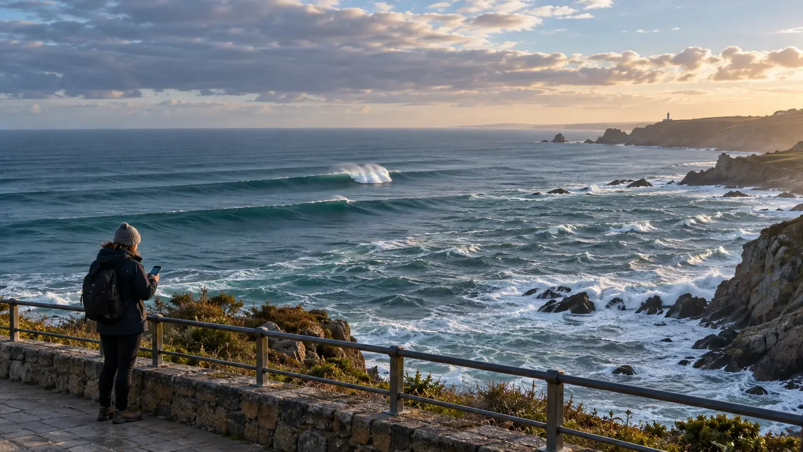
Looking at nearby trees or feeling only a light breeze on the promenade is not enough to judge conditions at the water’s edge. Waves reaching a beach may have formed locally, but they may also have travelled hundreds or thousands of kilometres. A seemingly calm coast can therefore receive powerful sets even when the local wind is weak.
Marine forecasts commonly separate wind sea, swell and combined sea. Understanding these terms makes maps more useful and helps identify occasions when rocks, breakwaters and the surf zone should be avoided.
What is wind sea?
Wind sea is produced by wind blowing over the same area of water. When it first develops, waves tend to be short, irregular and closely spaced. They grow and become better organised when the wind strengthens, lasts for many hours or blows across a long stretch of open water.
Its direction is normally related to the generating wind, although coastline shape, terrain and other wave systems can alter what you see. Conditions can also differ sharply between a sheltered bay and an exposed headland.
What is swell?
Swell is wave energy that has travelled away from the area where it was generated. It can cross great distances after the storm or strong wind responsible for it has moved far away. The more organised, longer-period waves may reach another coastline under clear skies and light local winds.
Swell often appears as more regular, widely spaced lines than wind sea. That orderly appearance does not mean it is weak. Long-period swell carries energy, can build in shallow water and may break forcefully or arrive in sets that catch people near the shore by surprise.
What does combined sea mean?
Local wind sea and one or more swell trains often coexist. Combined sea describes the total result. Components may approach from different directions, cross one another and create an uneven surface with changing wave sizes and spacing.
Combined wave height is not found by simply adding the published component heights. Forecast centres calculate the total from the energy in each system, so use the official combined-sea value rather than doing a simple sum.
How to read a marine forecast
Before a coastal activity, examine these variables separately:
- Significant wave height: roughly the average height of the highest third of waves, not the largest possible wave. Individual waves may be clearly higher.
- Period: the time between successive crests. For the same height, a longer period usually means more widely spaced waves that interact with the seabed in deeper water.
- Direction: shows wave propagation. The orientation of a beach determines whether it is exposed or sheltered.
- Local wind: affects surface chop, drift and control, but does not by itself describe incoming swell.
- Tide and warnings: alter how far waves reach and how much safe space remains.
Spain’s national weather service, AEMET, displays wind sea and swell separately as well as the combined sea, and defines significant height as the average of the highest third. Its marine forecast guide explains the map colours and arrows.
Why waves become more hazardous near shore
As waves enter shallow water, they interact with the seabed, slow down, steepen and eventually break. Water depth, beach shape, reefs, harbour structures and headlands can focus or redirect energy. Two sites only a few kilometres apart may therefore experience very different conditions.
Waves also arrive in groups. Several minutes of moderate breakers may be followed by a larger set. Watching a place briefly without seeing an incident does not prove it is safe, particularly on rock platforms and low promenades.
Practical coastal checklist
- Check the official coastal forecast and active warnings.
- Review wind sea, swell, period, direction and tide—not wind alone.
- Observe from a high, protected position before going closer.
- Stay off wet rocks, breakwaters and platforms reached by spray.
- Allow extra distance when long-period swell or crossing wave directions are forecast.
- Follow closures, flags and instructions from lifeguards and local authorities.
The key idea is simple: the wind you feel is not always the wind that created the waves. Separating the components gives a much clearer picture of what may happen when that energy reaches the coast.