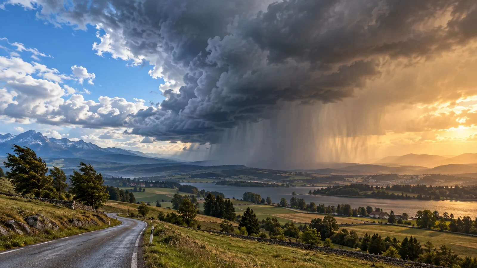
In a forecast, the words cold front are often assumed to mean heavy rain and a dramatic temperature fall. A front, however, is primarily a transition zone between air masses with different properties. Its effects depend on moisture, atmospheric stability, speed and the surrounding terrain.
What a cold front really is
A cold front occurs when relatively colder air advances and replaces warmer air ahead. Because cold air is denser, it tends to push underneath and lift the warmer air. That ascent can cool water vapour enough to form cloud and precipitation, but only when sufficient moisture is available.
The Uruguayan Institute of Meteorology provides an official explanation of the phenomenon. On surface charts, a cold front is normally shown as a blue line with triangles pointing in its direction of travel, as explained in the Met Office guide to synoptic weather charts.
Before the front arrives
Cloud and wind may increase while conditions remain comparatively mild. If the warm air is moist and unstable, towering cloud, showers or thunderstorms can develop. In other cases, the frontal band is narrow, weak or crosses with little rain.
Pressure commonly changes as a depression and its front approach, then rises behind, but a single barometer reading is not enough. The trend, the position of the system and local terrain all matter.
During passage: a rapid transition
The frontal zone may bring rain, showers, gusts and a change in wind direction. In unstable conditions, a line of showers can concentrate the strongest weather into a short period. Yet “cold front” does not automatically mean severe storms: the expected intensity must be checked in the forecast and official warnings.
Afterwards: colder air does not always mean clear skies
Colder, often drier air typically follows, with a wind shift and improving visibility. However, cold air moving over a relatively warm surface can sustain convective clouds and showers. Mountains can prolong cloud and precipitation on windward slopes while areas to leeward improve sooner.
Why rainfall varies so much
- Moisture: without enough water vapour, uplift produces little precipitation.
- Instability: influences whether layered cloud or vigorous showers dominate.
- Speed and orientation: affect how long the band remains over one place.
- Terrain: mountains and valleys modify wind, cloud and totals.
A cold front is not a cold wave
A front is a moving weather feature that may cross a region in hours. A cold wave is defined by the intensity, geographical extent and duration of unusually low temperatures under climatological criteria. A front may open the door to exceptionally cold air, but it may also cause only a modest, short-lived drop. The two terms are not interchangeable.
How to read the forecast beyond the symbol
- Check the estimated arrival time and its uncertainty.
- Compare precipitation probability and amount, not just the rain icon.
- Look at gusts and the expected wind shift.
- Compare temperatures before and after passage, especially overnight lows.
- Read official warnings for thunderstorms, wind, snow or coastal hazards.
Practical advice
For outdoor plans, prepare alternatives and do not treat a single radar image as a forecast. On roads, slow down for rain and gusts; in mountains and coastal areas, follow the hourly evolution and warnings. The useful question is not whether a “front” sounds alarming, but which effects are expected at your location and time.