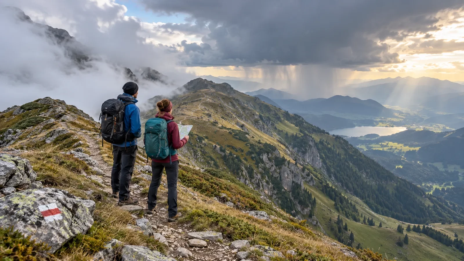
A calm morning in the valley can become windy, foggy, wet or stormy higher up. Mountain weather is not simply “unpredictable”: terrain forces air to rise, channels wind and creates sharp differences between slopes, passes and summits. A safe plan therefore needs more than the weather icon for the nearest town.
Why terrain speeds up change
Air rising over a slope cools and may condense, creating cloud while the valley remains sunny. Wind can accelerate through a pass, and conditions may differ abruptly across a ridge. Temperature generally falls with height, while wind can make exposed ground feel much colder.
Convective storms can also develop quickly. Growing towers of cloud, a darkening sky, distant thunder or a sudden cool gust are reasons to reassess immediately rather than wait for rain.
What to check before leaving
- A mountain-specific forecast: use the relevant range and elevation, not only the trailhead town.
- Mean wind and gusts: wind manageable in woodland may be unsafe on an exposed ridge.
- Freezing level and temperature: include wind chill and possible ice.
- Cloud base and visibility: low cloud can remove landmarks and make navigation difficult.
- Thunderstorm timing: compare the expected period with your time on exposed terrain.
- Official warnings: they do not describe every path, but identify conditions needing extra caution.
Use the specialist mountain forecast from the national meteorological service where available. Spain’s AEMET mountain service is a useful example of elevation-aware bulletins. For travel across Europe, Meteoalarm displays warnings issued by national services.
Turn the forecast into decisions
Do not stop at labels such as “light rain” or “moderate wind”. Ask where each hazard would meet you. If storms are most likely in the afternoon, cross ridges early and set a firm turnaround time. If low cloud is expected, do not rely on a single visual landmark. If wind strengthens with elevation, prepare a sheltered low-level alternative.
Before setting out, identify three things: the latest time to continue, the points where the route can be shortened, and the conditions that mean turning back. Pre-deciding prevents tiredness or summit fever from taking over.
What to carry on a short outing
- Waterproof and insulating layers suitable for the highest point.
- Water, food and personal medication.
- Offline mapping, enough battery and preferably a second navigation method.
- A torch, even if the plan ends in daylight.
- Sun protection despite variable cloud.
- A route and return time shared with someone who is not on the walk.
When to shorten or abandon the route
Turn around if visibility no longer allows reliable navigation, gusts affect balance, thunder is heard, unexpected ice appears or the group is far behind schedule. Weather does not need to become extreme before a small delay turns into a serious problem.
With thunderstorms approaching, leave summits, ridges and exposed ground early; do not shelter beneath an isolated tree. In fog, stop somewhere safe and confirm position and direction before moving. If someone is becoming cold, add layers, block the wind and make an early decision.
A forecast is not a substitute for observation
A forecast describes likely conditions, not a guarantee for every slope. Check the latest update before departure and keep observing cloud growth, wind direction, temperature, visibility and the group’s pace. Turning away from a summit is not failure; it is good use of changing information.