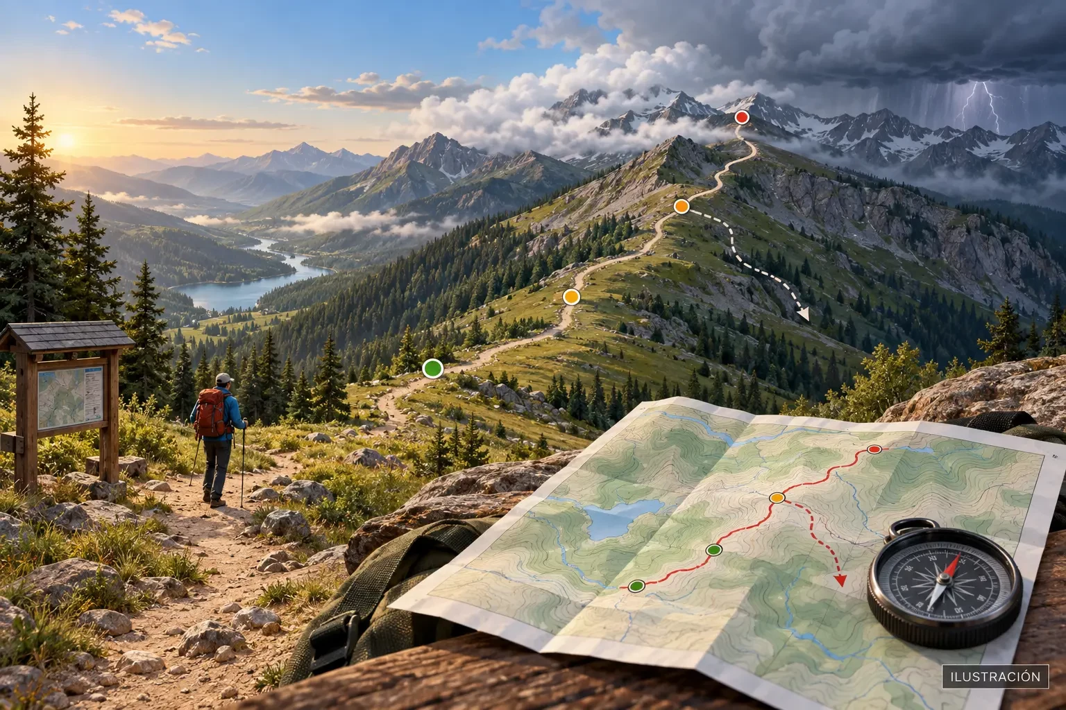
A “sun and cloud” icon for the nearest town is not enough to plan a walk. In upland terrain, altitude, exposure, topography and duration can turn the same weather into very different hazards. A forecast should become a timeline, decision points and alternatives, not a simple yes-or-no answer.
This is general guidance. It does not replace official warnings, specialist bulletins, trail information or local professional judgement.
Start with a mountain-specific forecast
Look for a bulletin covering the mountain area, not only a settlement in the valley. Specialist forecasts describe cloud, precipitation, thunderstorms, temperature, wind chill, winds at altitude and, in season, snow or avalanche conditions. National meteorological services across Europe provide products suited to their regions.
Also check weather warnings and the issue time. A forecast made the previous day may have changed in location, intensity or timing.
Turn the route into a timeline
Estimate when you expect to reach key places: the start, treeline, a col, ridge, summit, stream crossing and finish. Compare each section with the hourly forecast. The useful question is not “Will it rain today?” but “Where will we be when thunderstorms, wind or heat increase?”.
For example, a rising afternoon thunderstorm risk matters if the most exposed section is planned at that time. Starting earlier may reduce exposure, but it does not automatically make the route safe: allow for uncertainty, return time and the possibility of earlier development.
Set decision points before leaving
A decision point is a place and time where the group decides whether to continue, take an alternative or turn back. It should sit before the committing section, not beyond it: perhaps the last easy junction, treeline or the approach to a ridge.
- Set a latest turnaround time based on the slowest member and add a margin.
- Identify shorter variants and safe exits.
- Agree what will trigger cancellation: an active warning, nearby thunder, lost visibility, balance-affecting wind, unexpected heat or cold, or accumulated delay.
- Do not turn the summit into an obligation. Turning back in time is a successful decision.
No universal go/no-go threshold suits every person and landscape. Technical difficulty, exposure, experience, equipment and individual vulnerability all change the limit.
Weather variables to read together
- Precipitation: probability, intensity, total and duration. A little rain can make polished rock hazardous; rainfall elsewhere can affect a gully downstream.
- Thunderstorms: timing, area and development. Ridges, summits, isolated trees and open ground offer little protection from lightning. Read our guide to thunderstorm safety outdoors.
- Wind and gusts: they often strengthen through cols and on ridges and summits, affecting balance and pace.
- Temperature and “feels like”: distinguish valley from summit. Wind, rain, shade and stops cause cooling; sun, exertion and poor ventilation add heat strain.
- Cloud and visibility: low cloud can hide waymarks, cliffs and junctions without heavy rain.
- Snow and ice: require specialist bulletins, suitable equipment and skill. Consult avalanche information where relevant.
Check at three stages
- One or two days before: choose the area, main route and alternatives. Note the trend and forecast confidence.
- The evening before: adjust timing, kit, transport, water and decision points using the latest forecast.
- At the trailhead: check warnings and radar again if connected; compare actual cloud, wind and temperature with expectations.
Keep observing during the walk. An app does not replace environmental cues. If conditions develop earlier or more severely than forecast, use your margin to withdraw.
Communication and preparation
Spain’s Guardia Civil advises walkers to plan properly, avoid going alone, start with enough time, leave route details with someone, check the forecast and carry suitable equipment. Share the route, timetable and the time at which someone should raise concern. Carry sufficient battery, an offline map and a backup navigation method; an emergency call still requires coverage from some network.
Common mistakes
- Checking only the valley’s maximum temperature.
- Using a rain percentage without timing, intensity or thunderstorm information.
- Starting late and hoping the forecast will “hold”.
- Failing to allow for the slowest person, stops or wet ground.
- Waiting until the ridge to decide whether wind is excessive.
- Relying on phone battery or signal as the only system.
In summary
Sound weather planning links each route section to an estimated time and expected conditions. Mountain bulletins, warnings, alternatives and turnaround points help you decide early, while simple options remain available.