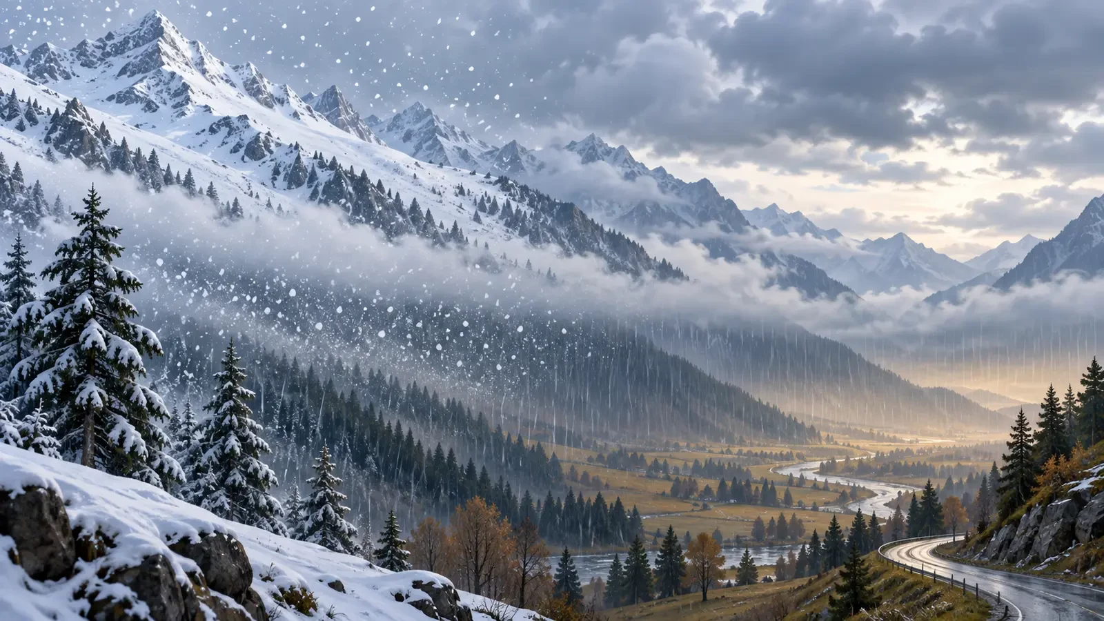
When a forecast places the freezing level at one altitude and the snow level lower down, it is not contradictory. The two are related, but they describe different parts of the atmosphere and precipitation process. Neither is a fixed horizontal boundary: temperature profiles, humidity, precipitation rate and terrain can alter what happens over short distances and times.
This is an educational guide, not a live warning. Always use official alerts and local road or mountain information for decisions.
Three different levels
Freezing level
This is the altitude where free-air temperature first reaches freezing as height increases. The National Weather Service glossary defines it as the altitude at which air temperature first drops below freezing. It comes from the observed or forecast vertical temperature profile. An inversion can create several crossings of 0°C, so the whole profile matters more than one headline number.
Snow level
This estimates the lowest elevation where precipitation reaches the ground mainly as snow. Snowflakes generally form in cold parts of a cloud and begin melting while falling through above-freezing air. Melting takes both time and energy, so flakes can survive some distance below the freezing level.
Settling or accumulation level
This is roughly where snow can remain and build up. It need not match the elevation where flakes are first observed. Warm, wet or sun-heated ground can melt initial snow, while sustained heavy snowfall can cool a surface and promote settling. Roads, grass, roofs and shaded slopes may behave differently.
Why snow often falls below the freezing level
A flake does not instantly become a raindrop when it enters slightly positive air. Its size, the depth of the warm layer and humidity control how quickly it melts. In relatively dry air, evaporation and sublimation cool the layer. Persistent or heavy precipitation may therefore lower the snow level temporarily.
There is no universal number of metres to subtract from the freezing level. A fixed rule can fail during temperature inversions, weak precipitation, dry air, strong wind or when cold air is trapped in valleys.
What moves the snow level
- Thermal profile: the depth of above- and below-freezing layers matters more than surface temperature alone.
- Humidity: wet-bulb temperature indicates how much precipitation may cool the air and preserve flakes.
- Precipitation rate: heavier precipitation can enhance local cooling and bring colder air downward.
- Terrain: enclosed valleys, windward slopes and shaded aspects can differ from nearby exposed locations.
- Time and surface: sunshine and stored ground heat especially affect whether snow settles.
- Wind and advection: a change of air mass can move every level quickly.
How to read a snow forecast
- Follow the hourly evolution of the snow level, not only the day's lowest value.
- Check whether the lowest level overlaps the period of precipitation. A low snow level without precipitation produces no snowfall.
- Consider intensity, temperature, humidity and wind for clues about local deviations.
- Separate “snow may fall” from “snow may accumulate”. Accumulation also depends on the surface and duration.
- In mountains, allow a safety margin: visibility, ice and wind can deteriorate before deep snow develops.
Common misconceptions
“It cannot snow at 2°C”. It can, if the mild layer is shallow or precipitation cools the air. “Everything above the snow level will turn white”. Not necessarily: the level describes the dominant precipitation type, not guaranteed settling. “The level is identical across a region”. Terrain and pools of cold air can produce major local differences.
Before travelling
Use your national meteorological service and local traffic or civil-protection information. Meteoalarm brings together official warnings from participating European services. In Spain, consult AEMET warnings. A forecast snow level is an atmospheric estimate, not a guarantee of conditions on a particular road.