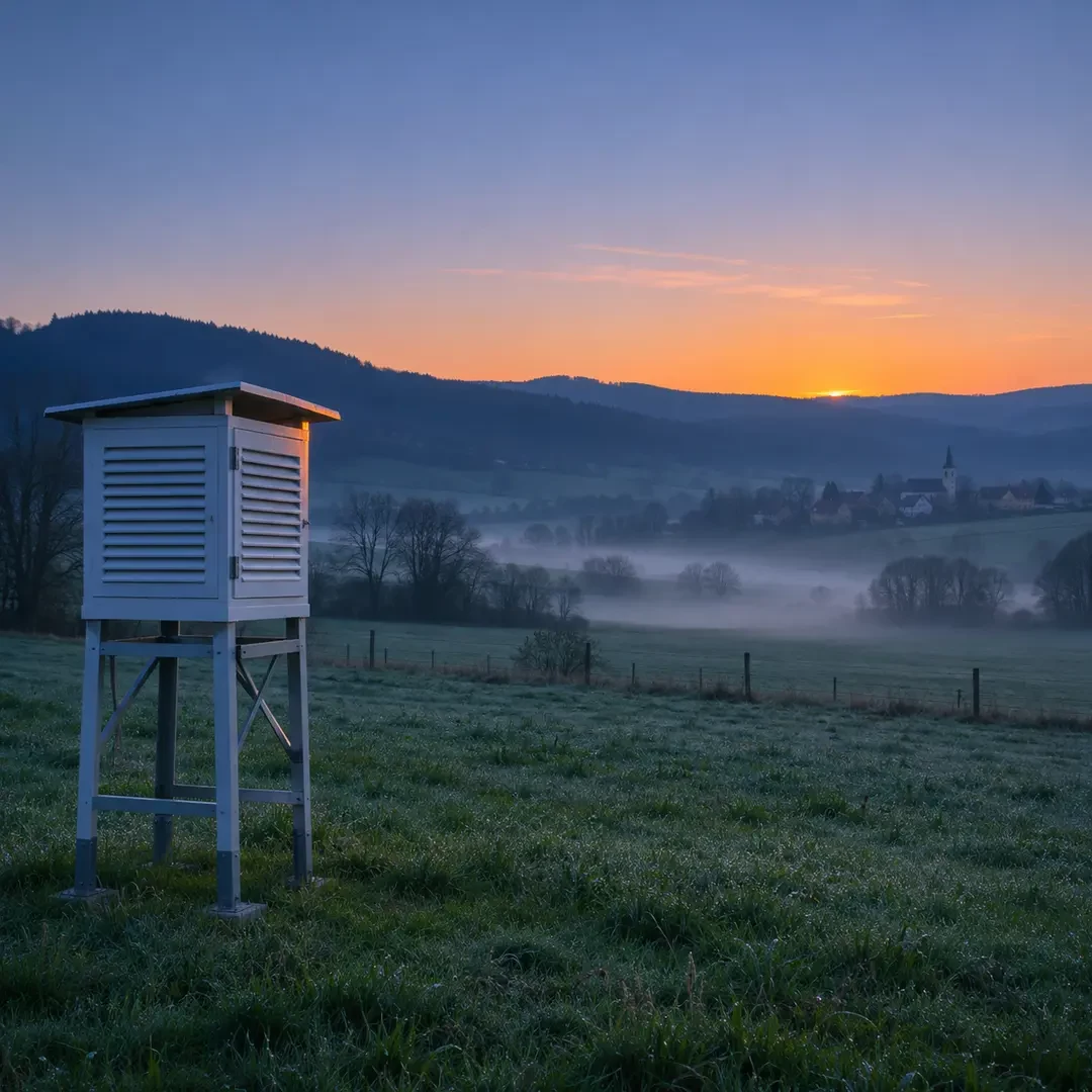
By midnight, the Sun has been absent for hours, but overnight cooling is usually not finished. On many quiet nights, the lowest temperature occurs close to sunrise and sometimes shortly after the solar disc appears. This is not because the air follows a fixed clock; it follows the energy balance between the surface and the atmosphere.
The ground keeps losing energy through the night
During daylight, the surface absorbs solar radiation and warms. After sunset that source disappears, while the ground continues to emit infrared radiation. If it emits more energy than it receives back from the atmosphere, its temperature falls. Air in contact with the ground then cools by conduction and mixing within a shallow layer.
National Weather Service temperature guidance notes that the daily minimum commonly occurs within about an hour before or after sunrise. This is a typical pattern, not a timetable: every night has its own cloud, wind and air-mass conditions.
Why can cooling continue after the Sun appears?
At sunrise the Sun is low and its rays arrive at a shallow angle. For a short time, absorbed solar energy may still be smaller than the infrared energy the surface is losing. The temperature can continue to fall while that net balance remains negative. Warming begins once incoming energy overtakes the losses.
This also helps explain seasonal and latitudinal changes in the timing. Long autumn and winter nights offer more cooling time, although the air mass, clouds and wind may matter more than night length on an individual day.
Clear, calm nights favour lower minima
Clouds emit some infrared energy back towards the surface, reducing net heat loss. An overcast night therefore often cools less than a clear one. Wind matters too: mixing can bring down milder air from above and prevent a very cold layer from remaining next to the ground.
Under clear skies and light winds, surface cooling may create an inversion, with colder air below warmer air. The National Weather Service explanation of nocturnal inversions links them to rapid ground cooling and weak mixing.
Terrain can change the minimum over a short distance
Cold air is denser and tends to drain towards low ground, where it can pool. A valley floor may be several degrees colder than a nearby slope. Buildings, vegetation, soil type, moisture and proximity to the sea also modify heat loss and air mixing.
Official air temperature is measured in a ventilated screen protected from direct radiation. Grass, a car roof or a plant can reach a different surface temperature. Local frost may therefore appear even when a nearby weather station reports a minimum slightly above 0°C.
The minimum does not always occur at dawn
A cold front or colder air mass can make the lowest reading occur in the afternoon or late evening. Warm-air advection overnight can do the opposite: the night starts cold and becomes milder. Increasing cloud, strengthening wind or developing fog may halt the fall before dawn.
Reading an overnight forecast
- Check both the forecast minimum and its expected time window.
- Look for cloud, wind and air-mass changes.
- Expect valleys and hollows to differ from slopes and urban stations.
- For crops or frost protection, use well-sited sensors and local official warnings.
The key point is that the night reaches its coldest stage when the energy balance stops being negative, not when the clock reaches midnight. That often happens around sunrise, but atmospheric movement can completely change the pattern.