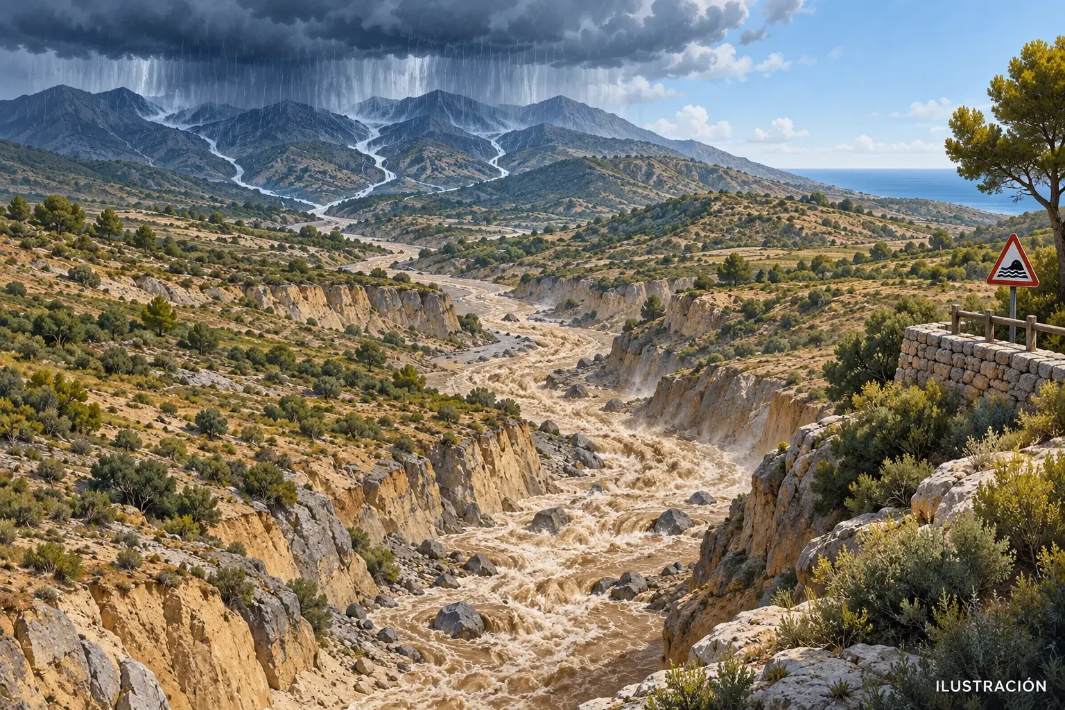
A ravine or gully can be dry beneath your feet while a storm releases heavy rain several kilometres upstream. Rain does not need to fall where you are to reach you: water gathers on slopes and in tributaries, enters the main channel and travels downhill. Looking only at the sky directly overhead can therefore create false reassurance.
Risk begins across the catchment
A catchment is the area of land that drains towards the same channel. During intense rain, some water infiltrates and some flows over the surface. This runoff converges into progressively larger channels. In small, steep catchments the response can be rapid, turning a dry bed into a flow carrying water, mud, stones and branches.
There is no universal delay between rainfall and a flood's arrival. It depends on the storm's location, intensity and extent, slope, soil, vegetation, previous wetness and channel bottlenecks. Saturated ground or urban surfaces can increase runoff.
Why “it is not raining here” is not enough
Thunderstorms are patchy. Skies may be bright downstream while headwaters are hidden beneath cloud. Water also takes time to move through the drainage network, so a rise arriving now may come from rain that started earlier and far away. Radar helps show where rain is falling and how cells move, but it does not by itself measure the discharge that will pass a particular point.
Both total rainfall and its rate matter. Our guide to rainfall millimetres, amounts and intensity explains the difference.
Signs that mean move away
- A growing roar, knocking stones or cracking sounds from the channel.
- Water becoming muddy, rising quickly or carrying foam, branches and sediment.
- A first tongue of water entering a previously dry bed.
- A storm towards the headwaters, an official warning or an emergency message.
Do not wait for a dramatic wall of water. Leave the channel and move laterally to safe higher ground; never continue along the bottom of the ravine. Do not cross floodwater on foot or by vehicle, and do not camp or park in channels, underpasses or depressions. Spain's Civil Protection warns that floodwater can conceal washouts and obstacles and advises moving to higher points.
A practical check before entering
- Identify the headwaters and the full route of the channel on a map, not just your access point.
- Check current AEMET warnings, radar and forecasts for the whole catchment.
- Where available, consult the river-basin authority and messages from emergency services.
- Plan an exit towards high ground and cancel when uncertainty remains.
A weather warning describes a forecast atmospheric hazard. It does not guarantee that every ravine will flood, nor does the absence of a warning make every location safe. Hydrological observations and authority instructions add different information. This guide is educational and does not replace live official warnings.
Official sources
- Spanish Civil Protection: flood risk and self-protection measures.
- AEMET: current weather warnings.
- Copernicus EMS European Flood Awareness System (EFAS), which assesses flood potential using catchment-scale runoff information.