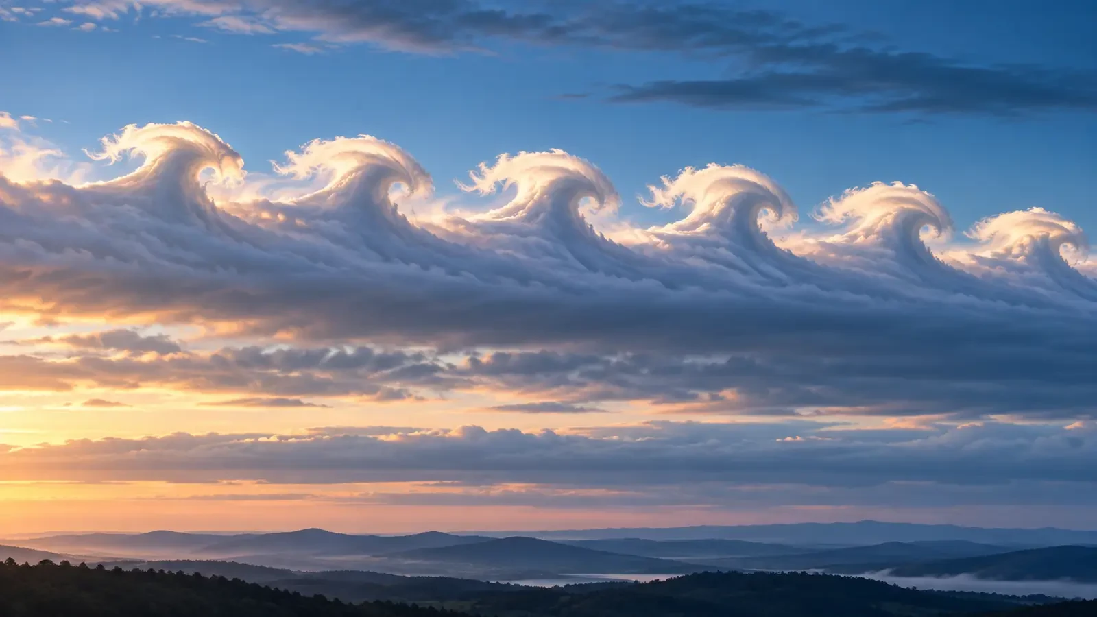
Occasionally, the edge of a cloud curls into a remarkably regular row of crests, as though ocean waves had appeared in the sky. These are widely called Kelvin-Helmholtz clouds; in formal cloud classification the feature is named fluctus.
What is fluctus?
The World Meteorological Organization defines fluctus as a relatively short-lived wave formation, usually on the upper surface of a cloud, taking the form of curls or breaking waves. It is a supplementary feature rather than a cloud genus of its own.
It occurs mainly with cirrus, altocumulus, stratocumulus and stratus, and occasionally with cumulus. This is why the waves may look like delicate white wisps in one case and compact rollers along a grey layer in another.
How the waves form
The key ingredient is wind shear: neighbouring layers of air move at different speeds or in different directions. When the boundary becomes unstable, small disturbances grow. The faster layer pulls the top of each wave forward, allowing it to tilt, curl and resemble a breaking sea wave.
The name honours William Thomson—Lord Kelvin—and Hermann von Helmholtz, whose work helped describe this instability in fluids. The process is not limited to clouds. It can occur wherever fluid layers move relative to one another, but it becomes visible in the sky only when moisture and condensation trace the motion.
Why it is short-lived
The crests are a transitional stage. As the waves roll up, they mix air across the boundary and weaken the contrast that allowed them to grow. Their sharp edges blur and the whole pattern may vanish within minutes. A clear row therefore requires the right combination of moisture, shear and timing.
What it tells us—and what it does not
Fluctus is visual evidence of shear and dynamic instability in the layer where it forms. It may imply turbulence near that boundary, which matters in meteorology and aviation. A view from the ground, however, cannot by itself quantify the turbulence or pinpoint its altitude accurately.
The clouds are not an automatic warning of thunderstorms, tornadoes or severe weather. They can occur without precipitation and on modest cloud layers. They reveal relative motion between layers, not a complete forecast for the coming hours.
How to recognise it
- A repeated line of curls or crests, rather than one isolated bump.
- Breaking-wave shapes leaning in the same direction.
- A pattern attached to the upper edge of a cloud band or layer.
- Rapid evolution: the curls change or disappear quickly.
A short time-lapse is often more useful than one photograph for distinguishing fluctus from lenticular clouds, mammatus or perspective effects. The strongest clue is a coherent sequence of crests that tip and roll over.