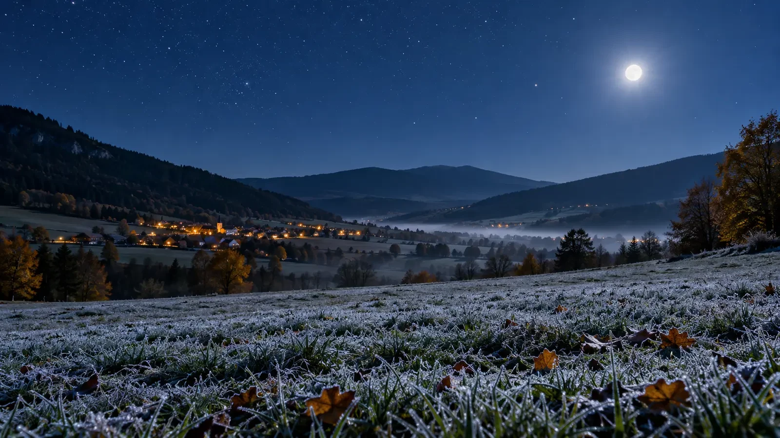
A clear, calm night can end with a lower minimum than a cloudy one, even if both evenings begin at a similar temperature. The reason lies in the surface energy balance. After sunset, the ground continues to emit infrared radiation and lose heat. With little cloud and weak wind, that cooling is readily transferred to the air immediately above it.
What radiative cooling means
By day, the surface receives solar energy. At night that input stops, but soil, buildings and vegetation continue to emit thermal energy. When they emit more than they receive from the atmosphere, their temperature falls, cooling the air in contact with them.
A standard weather thermometer is shielded and positioned above the ground, so it may not match the temperature of grass, a car roof or a plant leaf. An exposed surface can reach 0°C and develop frost while the official air temperature remains slightly positive.
Cloud acts as a partial blanket
Cloud absorbs some of the infrared radiation travelling upward and emits energy in all directions, including back towards the surface. It does not stop cooling, but it often reduces the net heat loss. Persistent cloud can therefore keep a night milder than a clear sky.
The result depends on cloud height, thickness and continuity. Large clear breaks allow faster cooling phases, while widespread low cloud commonly limits the temperature fall.
Why light winds favour low temperatures
Wind mixes the lower atmosphere. A moderate wind brings somewhat milder air down towards the surface and prevents a very shallow cold layer from settling. In calm conditions, cooled air stays close to the ground and temperatures can fall quickly.
This is why a clear but windy night does not always bring a hard frost. It also explains local contrasts: an exposed site may remain better mixed than a sheltered corner nearby.
Cold air collects in valleys and hollows
Air cooled next to the ground becomes denser and tends to drain downhill. It can pool in valleys, dips and enclosed low spots, much like water. This creates a temperature inversion, with colder air on the valley floor than on a slope higher up.
Local topography therefore matters greatly. An orchard in a hollow may freeze while a nearby site only a little higher stays above zero.
When frost risk increases
- Clear sky for much of the night.
- Light wind or calm conditions.
- Relatively dry air and a surface able to lose heat efficiently.
- A long night, especially in autumn and winter.
- A low, sheltered site where cold air can collect.
- A forecast minimum close to 0°C, even if the official value stays slightly above it.
Humidity affects whether dew or frost appears. When a surface cools to the dew point, vapour can condense; if that surface is below freezing, hoar frost may form. Moisture does not remove radiative cooling, although condensation, freezing and fog formation can alter how the temperature evolves.
How to read a forecast for your location
- Check hourly cloud cover rather than only the daily symbol.
- Review overnight wind and gusts.
- Compare the minimum temperature with the dew point.
- Consider whether you are in a valley, on a slope or in a built-up area.
- Use nearby stations as guidance, not as an exact copy of your microclimate.
Urban areas often cool less than open countryside because construction materials store heat, although parks and outskirts can behave differently. The best assessment combines the general forecast, terrain and local experience. “Clear and calm” does not automatically mean frost, but it describes the classic setup in which the ground can lose heat most effectively.