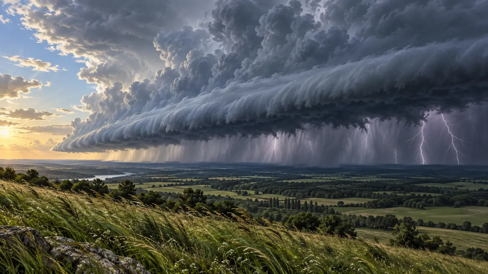
A squall line is an elongated band of active thunderstorms, either continuous or broken, with a connected precipitation area. That is the definition used by the US National Weather Service glossary. A line can extend for tens or hundreds of kilometres and move as a compact front, affecting many places in a short time.
This guide is educational and does not describe a current warning. During an actual event, use your national weather service, civil protection authority and local official alerts.
How a line of storms develops
Thunderstorms need moisture, instability and a lifting mechanism. When wind also changes in speed or direction with height, individual cells can become organised. Cool air descending from several storms spreads across the ground and forms a gust front. This leading edge lifts the warm, moist air ahead of it, allowing new cells to grow along a line.
The organisation can make the system last longer than an isolated storm: older cells weaken while new ones form near the advancing edge. Not every squall line has the same strength or produces the same hazards.
What it can look like from the ground and on radar
From a safe distance, observers may see a dark horizontal base and sometimes an arcus or shelf cloud. Its dramatic appearance alone does not measure wind speed. The leading edge may be followed by a sudden gust, a temperature drop, heavy rain, lightning and, in some cells, hail.
Radar commonly shows a narrow band of strong echoes. If part of the band bows outward, meteorologists examine it carefully because bowing segments can be associated with intense straight-line winds. A bright radar colour or a particular shape in an app is not enough to diagnose damage, however. Beam height, storm motion, the surrounding atmosphere and surface observations all matter.
Main hazards
- Straight-line wind: it can bring down branches, trees, loose objects and vulnerable structures without any tornado.
- Lightning: it may occur before the rain begins and continue after the strongest core has passed.
- Heavy rain: even a fast line may overwhelm drainage; a slow line or repeated cells over one place can raise the flash-flood risk.
- Hail: some cells produce it, but hail is not present in every line.
- Tornadoes: they are possible in some environments, particularly near areas of rotation, but a squall line is not the same thing as a tornado.
Not the same as a cold front, downburst or derecho
A cold front is a boundary between air masses and can exist without thunderstorms. A squall line is the organisation of the thunderstorms and may move ahead of that boundary. A downburst is a localised descending current that spreads out on reaching the ground and produces strong wind. Several downbursts can contribute to a line’s wind field.
“Derecho” is not an automatic synonym either. The term is reserved for widespread, long-lived convective wind events that meet specific meteorological criteria and are confirmed with observations. A storm does not become a derecho simply because it looks linear.
What to do when one approaches
- Check official warnings rather than estimating danger from one radar screenshot.
- Enter a substantial building before the gust front arrives and move away from windows and balconies.
- Secure awnings, plant pots and loose objects only while it remains safe to do so.
- Do not shelter under trees, lightweight canopies or open structures.
- While driving, slow smoothly, increase following distance and avoid flood-prone roads. If visibility collapses, stop in a safe place away from traffic.
- Wait until lightning has ended before resuming outdoor activity.
The National Weather Service thunderstorm safety guidance notes that severe storms may combine damaging wind, hail, lightning, tornadoes and flash flooding. The best protection is to act before the line reaches you rather than when the leading gust is already overhead.
Key takeaway
A squall line is an organised system, not one cloud. Its most widespread hazard may be straight-line wind, although rain, lightning and hail can also be significant. Radar structure helps meteorologists; for the public, decisions should be based on official warnings and early shelter.