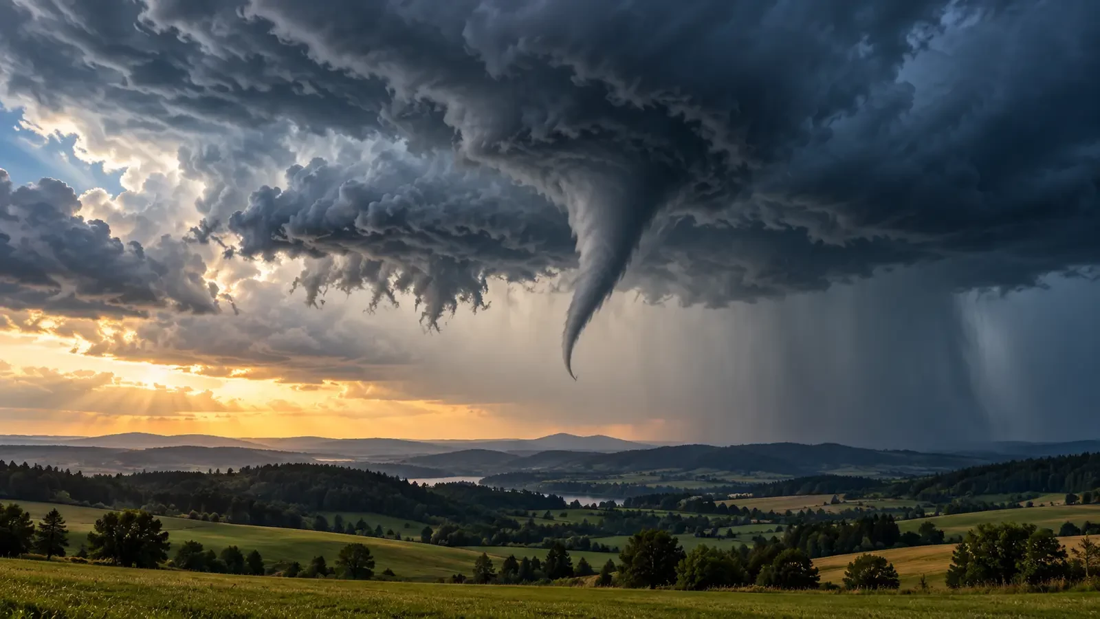
A narrow, rotating extension beneath a storm cloud raises an urgent question: is it a funnel cloud or a tornado? The distinction is not based only on whether a visible “tip” appears to reach the ground. What matters is whether the rotating column of air is in contact with the surface.
What is a funnel cloud?
A funnel cloud is a visible, usually cone-shaped condensation feature extending from the base of a cumulus or cumulonimbus cloud and associated with a vortex. If the circulation remains above the surface, it is classified as a funnel cloud. Its length, angle and shape can change quickly as humidity and pressure within the vortex vary.
The visible condensation does not necessarily reveal the full extent of the circulation. Rotating air can continue below the visible funnel, so an apparent gap between the cloud tip and the ground does not by itself prove that there is no surface hazard.
When does it become a tornado?
A tornado is a rotating column of air in contact with the ground and connected to a convective cloud. The US National Weather Service glossary states that a condensation funnel is a tornado if it touches the surface or if a rotating debris cloud or dust whirl is visible beneath it, even when the condensation does not extend all the way down.
Useful signs therefore include dust, leaves or debris rotating at ground level; damage progressing along a narrow path; and an organised circulation beneath the storm base. A tornado can be almost invisible when the air is too dry to produce a continuous condensation funnel.
Common lookalikes
- Scud clouds: low, ragged fragments moving quickly beneath a storm, but without persistent organised rotation.
- Rain shafts: dark vertical curtains that may look column-like, yet usually move downward or sideways rather than around a tight axis.
- Dust devils: surface-based vortices that usually form in fair, sunny weather and are not attached to a thunderstorm.
- Gust fronts: straight-line winds may lift dust along a broad advancing line rather than around a narrow centre.
Observe without taking risks
Do not move closer to confirm ground contact. Shelter in a sturdy building, in an interior room on the lowest floor and away from windows. If you are outdoors or in a vehicle, follow warnings from the national weather service and civil protection authorities; do not stop beneath bridges or attempt to cross the projected path.
If you can report the event without delaying shelter, provide your location, time, approximate direction of travel and whether debris is rotating at the surface. A photograph or video taken from safety may be useful, but it is never worth remaining exposed.
The key distinction
A funnel cloud refers to visible condensation associated with rotation for which surface contact has not been confirmed. A tornado is defined by circulation reaching the ground, even if the visible funnel is incomplete. The Met Office explains that tornadoes can take different shapes and may not always present a continuous funnel. Treat any rotating funnel beneath a storm cautiously, move to shelter and check official warnings.