 Español
 Nederlands
 Deutsch
Cold Fronts: The Battle Line Between Air Masses
Meta Description
Discover how cold fronts trigger storms and abruptly change weather patterns. Learn to identify them, understand their effects, and why they’re crucial for meteorology.
Introduction
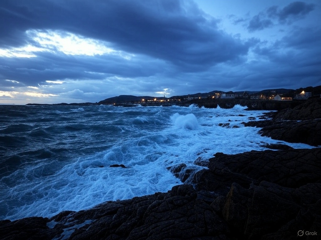
A cold front represents the leading edge of a polar or arctic air mass that abruptly displaces warm air. These atmospheric boundaries are responsible for:
-
Intense thunderstorms
-
Sudden temperature drops
-
Dramatic weather pattern changes
“A mature cold front can drop temperatures 10°C (18°F) in one hour” — Dr. Elena Ruiz, National Meteorological Service.
Anatomy of a Cold Front
Characteristic Structure
| Element | Description |
|---|---|
| Frontal boundary | Sloped line at 1:100 ratio (height:distance) |
| Clouds | Cumulonimbus and stratus |
| Speed | 25-50 km/h (faster in winter) |
Thermal Process
-
Advancement: Dense cold air wedges under warm air
-
Forced uplift: Warm air rises abruptly
-
Condensation: Formation of vertical clouds
Meteorological Manifestations
Typical Events
-
⚡ Thunderstorms (90% of active cold fronts)
-
🌪️ Wind gusts (up to 100 km/h in extreme cases)
-
🌧️ Heavy precipitation (50-100 mm/h in mountainous areas)
Temporal Sequence
-
12-24h before: Increase in cirrus clouds (“anvil tails”)
-
1-2h before: Low stratocumulus clouds
-
Frontal passage: Torrential downpours
-
Aftermath: Clear skies and dry cold
Geographic Impact in Latin America
Most Affected Regions
| Zone | Characteristics |
|---|---|
| Northern Mexico | “Nortes” fronts with hurricane-force winds |
| Central Andes | Heavy snowfall above 3,500 masl |
| Southern Cone | Polar outbreaks with agricultural frosts |
Key fact: In Buenos Aires, 70% of severe storms are frontal.
Home Forecasting
Field Signs
-
Pressure: Rapid drop before the front
-
Wind: Shifts from SE to NW (Southern Hemisphere)
-
Animals: Birds returning to nests prematurely
Mnemonic Rules
“Leaden sky, soon cold and everything wet”
“When wind turns northward, bundle up strong”
Hazards and Recommendations
Main Risks
⚠️ Flash floods (especially in urban areas)
⚠️ Destructive hail (Pampas corridor)
⚠️ Post-frontal cold waves
Protective Measures
✔ Monitor weather alerts
✔ Secure lightweight roofs
✔ Prepare 72-hour emergency kits
Climate Change and Trends
Alarming Statistics:
-
30% increase in front intensity (1990-2023)
-
Frontal season extended by 15 days in South America
-
More frequent “bombogenesis” (explosive cyclogenesis)
Recent Example:
The “Ykuá” cold front (2023) in Paraguay recorded:
-
Temperature drop from 32°C to 12°C (90°F to 54°F) in 90 minutes
-
120 km/h winds
-
200,000 agricultural hectares affected
Frequently Asked Questions
Why do they smell different before arriving?
Positive ions generated by atmospheric compression stimulate human olfaction.
How long do effects last?
Active frontal passage lasts 2-4 hours, but cold persists 3-5 days.
Can they occur in summer?
Yes, and they’re more violent (extreme thermal clash), like the “Santa Rosa” front in August.
Conclusion
Cold fronts are architects of extreme weather, blending science and folklore in their prediction. Their study saves lives and crops, especially in our vulnerable region.
🔍 Have you experienced a memorable cold front? Share your story!